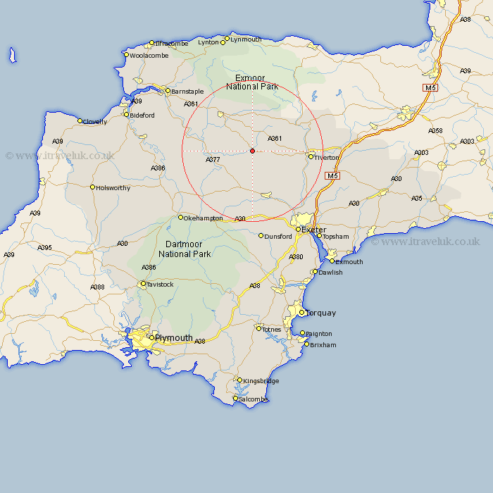
Devon Map Showing Location of Witheridge
Population: 1162
District: North Devon
Easting: 279341 Northing: 114490
Latitude: 50.92 Longitude: -3.72
 = Witheridge
District: North Devon
Easting: 279341 Northing: 114490
Latitude: 50.92 Longitude: -3.72
= Witheridge
This Witheridge map below is supplied by Google. Use the tools in the top left corner to zoom into street level or zoom out for a road map, you may also need to zoom in to see Witheridge on the map. Click and drag the map to move around. If the map fails to load try and refresh your browser or zoom in or out (+ or -).
Update - it seems Google no longer allow people to use their maps for free! This Witheridge map sometimes loads and sometimes gives a error. I am working on a solution.
Closest 30 Towns or Cities to Witheridge (Population over 500)
Morchard Bishop 7.78km Lapford 8.07km Chawleigh 8.39km Cheriton Fitzpaine 10.21km Chulmleigh 10.52km Sandford 11.66km Copplestone 13.18km South Molton 13.8km Nymet Tracey 14.75km Bow 14.75km Crediton 15.55km North Molton 15.93km Barrington 16.46km Burrington 16.46km Tiverton 16.47km Bampton 17.95km North Tawton 18.27km Thorverton 18.27km Newton St. Cyres 18.58km St Cyres 18.58km Newton St Cyres 18.58km St. Cyres 18.58km Saint Cyres 18.58km Newton Saint Cyres 18.58km Chittlehampton 19.76km Silverton 19.8km Cheriton Bishop 20.43km Tedburn St. Mary 20.53km Tedburn St Mary 20.53km Tedburn Saint Mary 20.53km