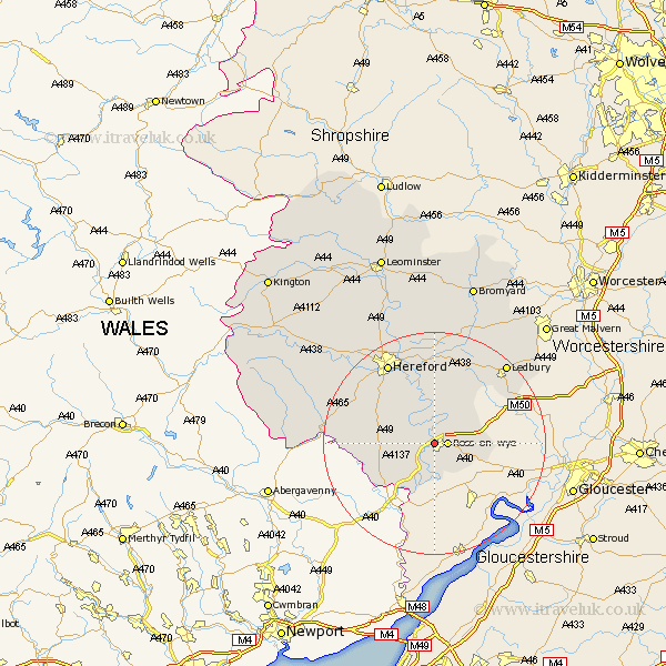
Herefordshire Map Showing Location of Wilton
Easting: 358737 Northing: 224459
Latitude: 51.92 Longitude: -2.6
 = Wilton
Latitude: 51.92 Longitude: -2.6
= Wilton
This Wilton map below is supplied by Google. Use the tools in the top left corner to zoom into street level or zoom out for a road map, you may also need to zoom in to see Wilton on the map. Click and drag the map to move around. If the map fails to load try and refresh your browser or zoom in or out (+ or -).
Update - it seems Google no longer allow people to use their maps for free! This Wilton map sometimes loads and sometimes gives a error. I am working on a solution.
Closest 30 Towns or Cities to Wilton (Population over 500)
Ross 2.29km Ross-on-wye 2.29km Ross on Wye 2.29km Walford 3.71km Weston 4.57km Weston under Penyard 4.57km Weston-under-Penyard 4.57km Goodrich 5.68km Upton Bishop 6.81km Lea 7.11km Whitchurch 8.17km Fownhope 9.26km Much Birch 9.74km Broad Oak 10.94km Much Marcle 11.52km Much Dewchurch 12.67km Mordiford 15km Bullingham 15.23km Allensmore 16.77km Hereford 16.84km Lugwardine 17.03km Ledbury 19.43km Kingstone 19.47km Ewyas Harold 19.78km Withington 20.51km Sutton 21.17km Bosbury 21.18km Madley 21.48km Moreton-on-Lugg 22.33km Moreton on Lugg 22.33km