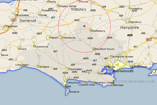
Dorset Map Showing Location of Gillingham
Population: 6234
Area Size (ha): 196
District: North Dorset
Easting: 381303 Northing: 126086
Latitude: 51.03 Longitude: -2.27
 = Gillingham
Area Size (ha): 196
District: North Dorset
Easting: 381303 Northing: 126086
Latitude: 51.03 Longitude: -2.27
= Gillingham
This Gillingham map below is supplied by Google. Use the tools in the top left corner to zoom into street level or zoom out for a road map, you may also need to zoom in to see Gillingham on the map. Click and drag the map to move around. If the map fails to load try and refresh your browser or zoom in or out (+ or -).
Update - it seems Google no longer allow people to use their maps for free! This Gillingham map sometimes loads and sometimes gives a error. I am working on a solution.
Closest 30 Towns or Cities to Gillingham (Population over 500)
Gillingham 0km East Stour 3.88km Stour 3.88km Motcombe 3.95km Stour Provost 5.68km Shaftesbury 5.95km Bourton 5.96km Marnhull 8.19km Charlton 10.86km Fontmell Magna 10.95km Stalbridge 11.61km Iwerne Minster 12.56km Sturminster Newton 13.02km Child Okeford 13.17km Shillingstone 14.87km Stourpaine 17.32km Sherbourne 18.78km Sherborne 18.78km Pimperne 19.12km Blandford 19.8km Blandford Forum 19.8km Handley 20.84km Winterborne Stickland 22.36km Stickland Winterborne 22.36km Tarrant Monkton 22.54km Buckland Newton 25.68km Bradford Abbas 25.68km Yetminster 25.71km Milton Abbas 25.97km Whitechurch 26.05km