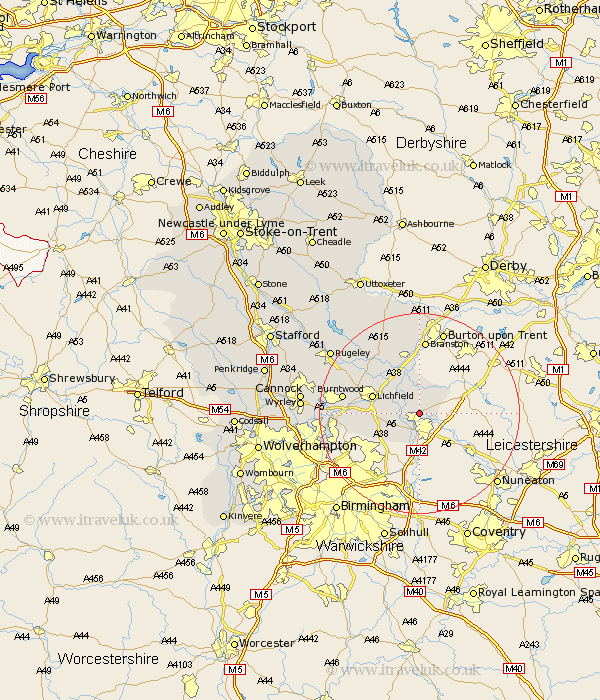
Staffordshire Map Showing Location of Wigginton
Population: 962
District: Lichfield
Easting: 421421 Northing: 305893
Latitude: 52.65 Longitude: -1.68
 = Wigginton
District: Lichfield
Easting: 421421 Northing: 305893
Latitude: 52.65 Longitude: -1.68
= Wigginton
This Wigginton map below is supplied by Google. Use the tools in the top left corner to zoom into street level or zoom out for a road map, you may also need to zoom in to see Wigginton on the map. Click and drag the map to move around. If the map fails to load try and refresh your browser or zoom in or out (+ or -).
Update - it seems Google no longer allow people to use their maps for free! This Wigginton map sometimes loads and sometimes gives a error. I am working on a solution.
Closest 30 Towns or Cities to Wigginton (Population over 500)
Tamworth 3.7km Fazeley 3.87km Elford 4.33km Edingale 5.56km Clifton Campville 5.82km Drayton Bassett 6km Whittington 6.73km Alrewas 8.15km Lichfield 9.72km Shenstone 10.29km Yoxall 13km Hammerwich 13.49km Branston 14.86km Tatenhill 14.86km Burntwood 15.07km Longdon 15.39km Armitage 16.35km Aldridge 16.7km Brownhills 16.97km Pelsall 18.37km Anslow 18.54km Rushall 18.84km Norton Canes 19.46km Colton 20.38km Rolleston 20.5km Hanbury 20.66km Rugeley 21.26km Hednesford 22.06km Walsall 22.09km Wallsall 22.09km