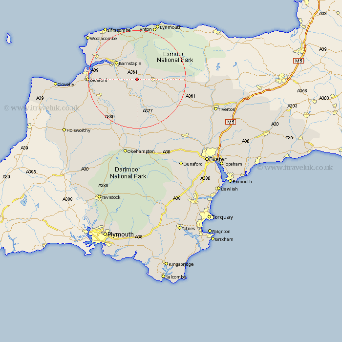
Devon Map Showing Location of Warkleigh
District: North Devon
Easting: 264406 Northing: 125985
Latitude: 51.02 Longitude: -3.93
 = Warkleigh
Easting: 264406 Northing: 125985
Latitude: 51.02 Longitude: -3.93
= Warkleigh
This Warkleigh map below is supplied by Google. Use the tools in the top left corner to zoom into street level or zoom out for a road map, you may also need to zoom in to see Warkleigh on the map. Click and drag the map to move around. If the map fails to load try and refresh your browser or zoom in or out (+ or -).
Update - it seems Google no longer allow people to use their maps for free! This Warkleigh map sometimes loads and sometimes gives a error. I am working on a solution.
Closest 30 Towns or Cities to Warkleigh (Population over 500)
Chittlehampton 1.17km Swimbridge 4.38km South Molton 7km High Bickington 7.26km Tawstock 8.96km Burrington 9.35km Barrington 9.35km North Molton 10.03km Barnstaple 11.02km Bratton Fleming 11.18km Chulmleigh 12.06km Fremington 13.97km Chawleigh 14.75km Marwood 15.28km Dolton 16.4km Instow 16.73km Great Torrington 16.88km Torrington 16.88km Witheridge 18.81km Appledore 19.01km Lapford 19.12km Braunton 19.78km Bideford 19.82km Northam 19.9km West Down 21.03km Combe Martin 21.54km Langtree 21.73km Berrynarbor 22.41km Morchard Bishop 22.55km Georgeham 22.7km