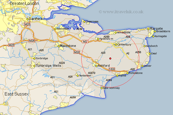
Kent Map Showing Location of Waltham
Population: 427
District: Canterbury
Easting: 610802 Northing: 147057
Latitude: 51.18 Longitude: 1.02
 = Waltham
District: Canterbury
Easting: 610802 Northing: 147057
Latitude: 51.18 Longitude: 1.02
= Waltham
This Waltham map below is supplied by Google. Use the tools in the top left corner to zoom into street level or zoom out for a road map, you may also need to zoom in to see Waltham on the map. Click and drag the map to move around. If the map fails to load try and refresh your browser or zoom in or out (+ or -).
Update - it seems Google no longer allow people to use their maps for free! This Waltham map sometimes loads and sometimes gives a error. I am working on a solution.
Closest 30 Towns or Cities to Waltham (Population over 500)
Stelling 3.48km Petham 4.38km Brabourne 5.68km Wye 5.81km Lower Hardres 6.56km Chilham 6.56km Chartham 7.42km Elham 7.89km Hinxhill 8.04km Smeeth 8.19km Lyminge 8.74km Bridge 8.91km Sellindge 9.33km Sellinge 9.33km Kennington 10.01km Ashford 10.83km Mersham 10.94km Canterbury 11.11km Harbledown 11.18km Dunkirk 11.36km Selling 11.6km Hackington 12.05km Aldington 12.05km Swingfield 12.88km Lympne 13.02km Sturry 13.12km Blean 13.18km Hythe 13.77km Littlebourne 13.97km Hawkinge 13.97km