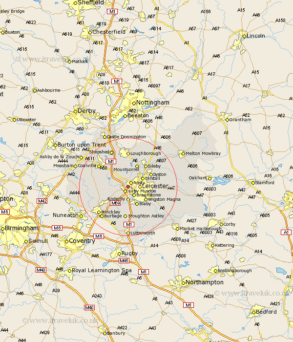
Leicestershire Map Showing Location of Glenfield
District: Blaby
Easting: 454136 Northing: 304289
Latitude: 52.63 Longitude: -1.2
 = Glenfield
Easting: 454136 Northing: 304289
Latitude: 52.63 Longitude: -1.2
= Glenfield
This Glenfield map below is supplied by Google. Use the tools in the top left corner to zoom into street level or zoom out for a road map, you may also need to zoom in to see Glenfield on the map. Click and drag the map to move around. If the map fails to load try and refresh your browser or zoom in or out (+ or -).
Update - it seems Google no longer allow people to use their maps for free! This Glenfield map sometimes loads and sometimes gives a error. I am working on a solution.
Closest 30 Towns or Cities to Glenfield (Population over 500)
Kirby Muxloe 2.16km Ansty 2.17km Anstey 2.17km Braunstone 4.33km Leiscester 4.5km Leicester 4.5km Enderby 5.56km Desford 5.92km Birstall 6.74km Markfield 6.74km Narborough 7.41km Whetstone 7.49km Blaby 8.14km Rothley 8.67km Wigston 8.75km Wigston Magna 8.75km Bagworth 9.19km Newbold Verdon 9.19km Woodhouse 9.27km Glen Parva 9.3km Glen Parka 9.3km Cosby 9.33km Croft 9.53km Oadby 9.64km Mountsorrel 9.87km Countesthorpe 10.3km Syston 10.57km Barlestone 11.25km Quorndon 11.34km Elmsthorpe 11.46km