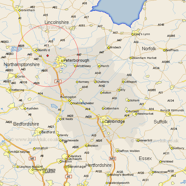
Cambridgeshire Map Showing Location of Ufford
Population: 226
Easting: 509439 Northing: 303369
Latitude: 52.62 Longitude: -0.38
 = Ufford
Easting: 509439 Northing: 303369
Latitude: 52.62 Longitude: -0.38
= Ufford
This Ufford map below is supplied by Google. Use the tools in the top left corner to zoom into street level or zoom out for a road map, you may also need to zoom in to see Ufford on the map. Click and drag the map to move around. If the map fails to load try and refresh your browser or zoom in or out (+ or -).
Update - it seems Google no longer allow people to use their maps for free! This Ufford map sometimes loads and sometimes gives a error. I am working on a solution.
Closest 30 Towns or Cities to Ufford (Population over 500)
Barnack 1.13km Helpston 3.38km Helpstone 3.38km Wittering 4.87km Castor 6.51km Glinton 7km Northborough 7.7km Elton 9.27km Orton Waterville 9.31km Peterborough 9.74km Peterbrough 9.74km Petersborough 9.74km Newborough 11.25km Eye 13.63km Farcet 13.74km Yaxley 15.8km Folksworth 15.87km Stilton 16.3km Whittlesey 18.45km Thorney 19.13km Holme 19.52km Sawtry 21.87km Ramsey 25.86km Alconbury 28.9km Bury 29.36km Wistow 30.79km Spaldwick 31.69km Warboys 32.25km March 32.39km Wimblington 33.07km