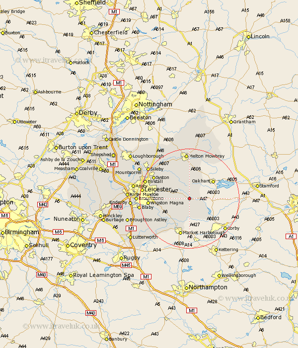
Leicestershire Map Showing Location of Tugby
Population: 316
District: Harborough
Easting: 476750 Northing: 300888
Latitude: 52.6 Longitude: -0.87
 = Tugby
District: Harborough
Easting: 476750 Northing: 300888
Latitude: 52.6 Longitude: -0.87
= Tugby
This Tugby map below is supplied by Google. Use the tools in the top left corner to zoom into street level or zoom out for a road map, you may also need to zoom in to see Tugby on the map. Click and drag the map to move around. If the map fails to load try and refresh your browser or zoom in or out (+ or -).
Update - it seems Google no longer allow people to use their maps for free! This Tugby map sometimes loads and sometimes gives a error. I am working on a solution.
Closest 30 Towns or Cities to Tugby (Population over 500)
Billesdon 4.5km Hallaton 6km Somerby 7.75km Houghton on the Hill 8.09km Houghton 8.09km Houghton-on-the-Hill 8.09km Twyford 8.15km Kibworth Harcourt 10.83km Kibworth 10.83km Great Glen 11.85km Great Easton 12.17km Gaddesby 13.01km Great Bowden 13.17km Bowden 13.17km Queniboro 14.57km Queniborough 14.57km Oadby 14.75km Market Harborough 15.2km Lubenham 15.86km Wigston 15.87km Wigston Magna 15.87km Frisby-on-the-Wreak 16.28km Frisby on the Wreak 16.28km Frisby 16.28km Syston 16.37km Rearsby 17.17km Glen Parva 17.29km Glen Parka 17.29km Hoby 17.34km Leiscester 18.38km