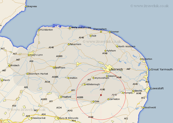
Norfolk Map Showing Location of Tivetshall St. Margaret
Population: 266
District: South Norfolk
Easting: 617504 Northing: 286560
Latitude: 52.43 Longitude: 1.2
 = Tivetshall St. Margaret
District: South Norfolk
Easting: 617504 Northing: 286560
Latitude: 52.43 Longitude: 1.2
= Tivetshall St. Margaret
This Tivetshall St. Margaret map below is supplied by Google. Use the tools in the top left corner to zoom into street level or zoom out for a road map, you may also need to zoom in to see Tivetshall St. Margaret on the map. Click and drag the map to move around. If the map fails to load try and refresh your browser or zoom in or out (+ or -).
Update - it seems Google no longer allow people to use their maps for free! This Tivetshall St. Margaret map sometimes loads and sometimes gives a error. I am working on a solution.
Closest 30 Towns or Cities to Tivetshall St. Margaret (Population over 500)
Pulham 3.86km Moulton 3.88km Great Moulton 3.88km Moulton St Michael 3.88km Moulton Saint Michael 3.88km Moulton St. Michael 3.88km Burston 5.02km Long Stratton 6km Harleston 6.76km Bunwell 7.16km Forncett Saint Mary 7.42km Forncett 7.42km Forncett St Mary 7.42km Forncett St. Mary 7.42km Scole 7.74km Diss 7.93km Brockdish 8.68km Roydon 10.04km Hempnall 10.04km Ashwellthorpe 11.18km Banham 11.45km Old Buckenham 11.58km Saxlingham 12km Saxlingham Thorpe 12km Bressingham 12.6km Mulbarton 13.17km North Lopham 14.06km Besthorpe 14.61km Stoke Holy Cross 14.64km Kenninghall 14.69km