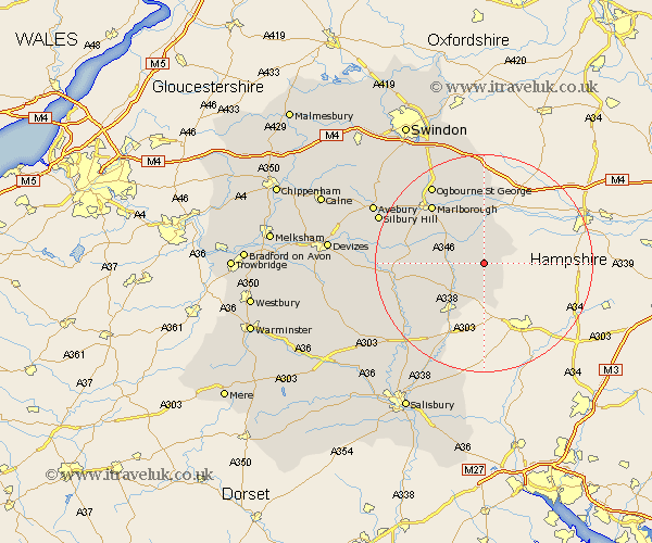
Wiltshire Map Showing Location of Tidcombe
District: Kennet
Easting: 429035 Northing: 157648
Latitude: 51.32 Longitude: -1.58
 = Tidcombe
Easting: 429035 Northing: 157648
Latitude: 51.32 Longitude: -1.58
= Tidcombe
This Tidcombe map below is supplied by Google. Use the tools in the top left corner to zoom into street level or zoom out for a road map, you may also need to zoom in to see Tidcombe on the map. Click and drag the map to move around. If the map fails to load try and refresh your browser or zoom in or out (+ or -).
Update - it seems Google no longer allow people to use their maps for free! This Tidcombe map sometimes loads and sometimes gives a error. I am working on a solution.
Closest 30 Towns or Cities to Tidcombe (Population over 500)
Grafton 3.93km Shalbourn 4.37km Shalbourne 4.37km Great Bedwyn 5.68km Bedwyn 5.68km Collingbourne Ducis 5.94km Burbage 6.08km North Tidworth 10.94km Tidworth 10.94km Pewsey 11.73km Ramsbury 13.02km Ludgershall 13.78km Lugershall 13.78km Marlborough 14.47km Upavon 16.64km Netheravon 16.72km Enford 16.8km Aldbourne 16.84km Figheldean 17.81km Bulford 18.2km Baydon 18.56km Durrington 19.57km Amesbury 21.73km Lark Hill 21.99km Chiseldon 22.38km Idmiston 22.41km Bishopstone 24.33km Urchfont 24.4km Broad Hinton 25.38km Wanborough 25.41km