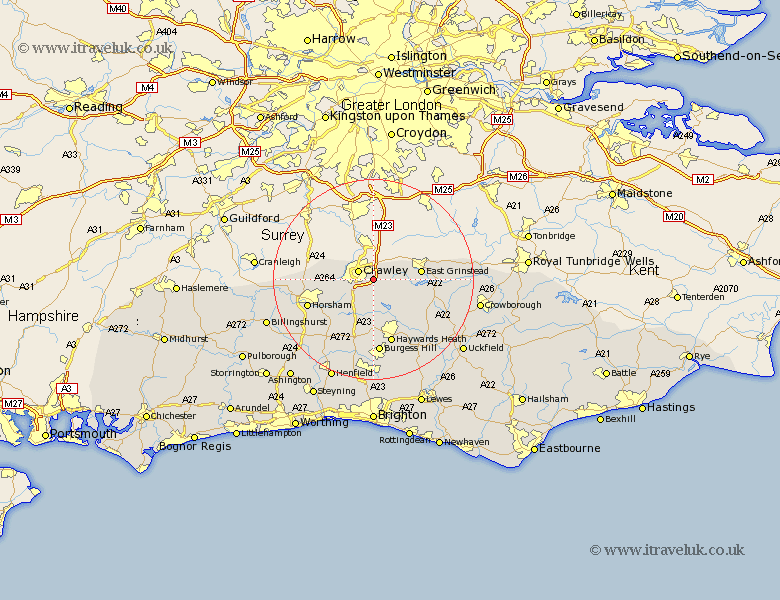
Sussex Map Showing Location of Three Bridges
District: Crawley
Easting: 529517 Northing: 135097
Latitude: 51.1 Longitude: -0.15
 = Three Bridges
Easting: 529517 Northing: 135097
Latitude: 51.1 Longitude: -0.15
= Three Bridges
This Three Bridges map below is supplied by Google. Use the tools in the top left corner to zoom into street level or zoom out for a road map, you may also need to zoom in to see Three Bridges on the map. Click and drag the map to move around. If the map fails to load try and refresh your browser or zoom in or out (+ or -).
Update - it seems Google no longer allow people to use their maps for free! This Three Bridges map sometimes loads and sometimes gives a error. I am working on a solution.
Closest 30 Towns or Cities to Three Bridges (Population over 500)
Worth 1.16km Crawley 3.55km Turners Hill 5.01km Balcombe 6.03km Rusper 8.15km Slaugham 8.2km Forest Row 8.36km Ardingly 8.76km Cuckfield 9.34km South Nutfield 9.34km East Grinstead 9.49km Lower Beeding 11.6km Lindfield 12.55km Warnham 12.94km Horsted Keynes 13.14km Bolney 13.44km Botney 13.44km Baywards Heath 13.44km Haywards Heath 13.44km West Horsham 13.96km Horsham 13.96km Burgess Hill 14.87km Nuthurst 15.28km Cowfold 15.33km Southwater 16.77km Wivelsfield 17.32km Itchingfield 17.91km Fletching 18.24km Slinfold 18.33km Albourne 18.68km