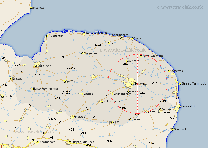
Norfolk Map Showing Location of Thorpe
Population: 13762
District: Broadland
Easting: 626664 Northing: 309257
Latitude: 52.63 Longitude: 1.35
 = Thorpe
District: Broadland
Easting: 626664 Northing: 309257
Latitude: 52.63 Longitude: 1.35
= Thorpe
This Thorpe map below is supplied by Google. Use the tools in the top left corner to zoom into street level or zoom out for a road map, you may also need to zoom in to see Thorpe on the map. Click and drag the map to move around. If the map fails to load try and refresh your browser or zoom in or out (+ or -).
Update - it seems Google no longer allow people to use their maps for free! This Thorpe map sometimes loads and sometimes gives a error. I am working on a solution.
Closest 30 Towns or Cities to Thorpe (Population over 500)
Norwich 3.37km Great Plumstead 3.85km Spixworth 3.88km Rackheath 5.67km Brundall 5.92km Hellesdon 6.75km Blofield 7km Salhouse 7.15km Horsham 7.15km Horsham Saint Faith 7.15km Horsham St Faith 7.15km Horsham St. Faith 7.15km Cringleford 7.7km Wroxham 8.15km Hoveton 8.42km Horsford 8.74km Costessey 9.19km Lingwood 9.19km Poringland 9.26km Horstead 9.27km Brooke 9.53km Drayton 9.73km Stoke Holy Cross 9.86km Haynford 9.87km Hainford 9.87km Swardeston 10.02km Thurton 10.84km Coltishall 11.18km Taverham 11.84km Hethersett 11.85km