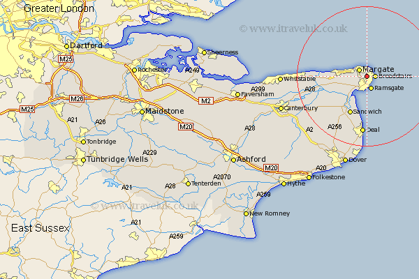
Kent Map Showing Location of Saint Peter's
Population: 116150
Area Size (ha): 2663
District: Thanet
Easting: 637797 Northing: 168667
Latitude: 51.37 Longitude: 1.42
 = Saint Peter's
Area Size (ha): 2663
District: Thanet
Easting: 637797 Northing: 168667
Latitude: 51.37 Longitude: 1.42
= Saint Peter's
This Saint Peter's map below is supplied by Google. Use the tools in the top left corner to zoom into street level or zoom out for a road map, you may also need to zoom in to see Saint Peter's on the map. Click and drag the map to move around. If the map fails to load try and refresh your browser or zoom in or out (+ or -).
Update - it seems Google no longer allow people to use their maps for free! This Saint Peter's map sometimes loads and sometimes gives a error. I am working on a solution.
Closest 30 Towns or Cities to Saint Peter's (Population over 500)
Broadstairs 2.31km Margate 2.78km Ramsgate 3.89km Manston 3.94km Birchington 8.1km Minster 8.9km Monkton 9.98km St. Nicholas at Wade 11.72km St Nicholas at Wade 11.72km Saint Nicholas at Wade 11.72km Sandwich 12.05km Worth 13.78km Preston 14.74km Chislet 15.5km Deal 16.72km Sholden 16.84km Eastry 16.91km Staple 17.4km Northbourne 17.66km Hoath 17.75km Wingham 17.8km Walmer 18.57km Broomfield 18.59km Mongeham 18.86km Great Mongeham 18.86km Herne Bay 19.67km Kingsdown 20.43km Littlebourne 20.63km Eythorne 22.4km Sturry 22.82km