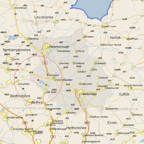
Cambridgeshire Map Showing Location of Long Stow
Population: 135
District: Huntingdonshire
Easting: 511321 Northing: 270031
Latitude: 52.32 Longitude: -0.37
 = Long Stow
District: Huntingdonshire
Easting: 511321 Northing: 270031
Latitude: 52.32 Longitude: -0.37
= Long Stow
This Long Stow map below is supplied by Google. Use the tools in the top left corner to zoom into street level or zoom out for a road map, you may also need to zoom in to see Long Stow on the map. Click and drag the map to move around. If the map fails to load try and refresh your browser or zoom in or out (+ or -).
Update - it seems Google no longer allow people to use their maps for free! This Long Stow map sometimes loads and sometimes gives a error. I am working on a solution.
Closest 30 Towns or Cities to Long Stow (Population over 500)
Kimbolton 2.17km Spaldwick 2.92km Ellington 5.67km Grafham 5.96km Graffham 5.96km Great Staughton 6km Buckden 8.76km Alconbury 8.78km Brampton Grange 9.06km Brampton 9.06km Little Paxton 10.86km Hail Weston 10.87km Offord Cluny 11.93km Offord 11.93km Eaton Socon 12.48km Huntingdon 12.6km Great Paxton 12.61km St Neots 13.04km St. Neots 13.04km Saint Neots 13.04km Godmanchester 13.59km Durolipons 13.59km Sawtry 14.64km Hemingford Grey 16.99km Hemingford 16.99km Wyton 17.09km Hemingford Abbots 18.13km West Hemingford 18.13km Hilton 18.97km Holme 18.98km