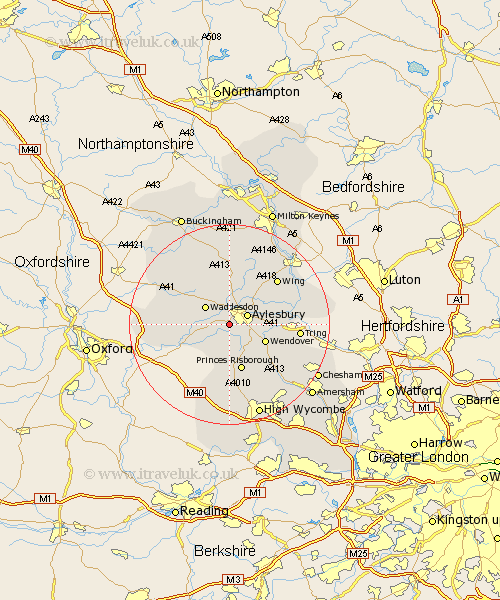
Buckinghamshire Map Showing Location of Stone
Population: 1972
Area Size (ha): 49
District: Aylesbury Vale
Easting: 479290 Northing: 211936
Latitude: 51.8 Longitude: -0.85
 = Stone
Area Size (ha): 49
District: Aylesbury Vale
Easting: 479290 Northing: 211936
Latitude: 51.8 Longitude: -0.85
= Stone
This Stone map below is supplied by Google. Use the tools in the top left corner to zoom into street level or zoom out for a road map, you may also need to zoom in to see Stone on the map. Click and drag the map to move around. If the map fails to load try and refresh your browser or zoom in or out (+ or -).
Update - it seems Google no longer allow people to use their maps for free! This Stone map sometimes loads and sometimes gives a error. I am working on a solution.
Closest 30 Towns or Cities to Stone (Population over 500)
Aylesbury 3.91km Cuddington 4.95km Stoke Mandeville 4.95km Waddesdon 5.89km Haddenham 5.89km Weston Turville 7.12km Ellesborough 7.21km Longwick 7.42km Chearsley 7.81km Wendover 7.81km Great Kimble 8.18km Kimble 8.18km Halton 8.24km Quainton 8.71km Aston Clinton 9.17km Buckland 9.17km Bledlow 9.33km North Marston 9.33km Whitchurch 9.33km Whitechurch 9.33km Princes Risborough 9.54km Long Crendon 9.89km Grendon Underwood 12.7km Marsworth 12.74km Radnage 13.03km Wing 13.03km Cheddington 13.13km Prestwood 13.72km Brill 13.87km Stewkley 14.68km