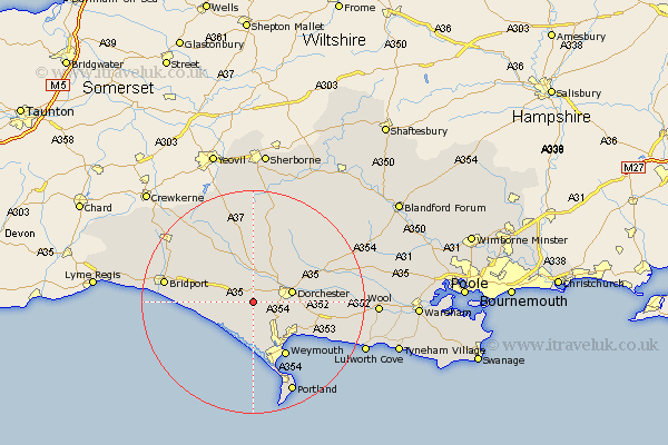
Dorset Map Showing Location of Steepleton
Population: 295
District: West Dorset
Easting: 362339 Northing: 89128
Latitude: 50.7 Longitude: -2.53
 = Steepleton
District: West Dorset
Easting: 362339 Northing: 89128
Latitude: 50.7 Longitude: -2.53
= Steepleton
This Steepleton map below is supplied by Google. Use the tools in the top left corner to zoom into street level or zoom out for a road map, you may also need to zoom in to see Steepleton on the map. Click and drag the map to move around. If the map fails to load try and refresh your browser or zoom in or out (+ or -).
Update - it seems Google no longer allow people to use their maps for free! This Steepleton map sometimes loads and sometimes gives a error. I am working on a solution.
Closest 30 Towns or Cities to Steepleton (Population over 500)
Portisham 4.39km Portesham 4.39km Abbotsbury 5.98km Charminster 6.94km Dorchester 7.28km Maiden Newton 7.78km Bincombe 8.09km West Chickerel 9.56km Chickerell 9.56km Preston 9.92km Overcombe 10.08km Broadmayne 10.73km Weymouth 11.6km Cerne Abbas 12.07km Puddletrenthide 12.38km Piddletrenthide 12.38km Burton Bradstock 12.91km Upton 13.3km Loders 13.43km Osmington 13.89km Puddletown 14.05km Piddletown 14.05km Bradpole 14.56km Buckland Newton 15.94km Bridport 16.15km Fortuneswell 17.68km Netherbury 17.84km Island of Portland 18.11km Isle of Portland 18.11km Portland 18.11km