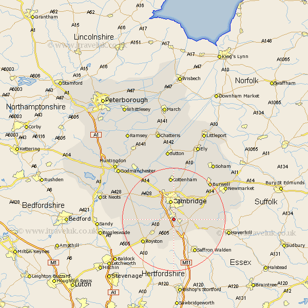
Cambridgeshire Map Showing Location of Shelford
Population: 3949
District: South Cambridgeshire
Easting: 545996 Northing: 250524
Latitude: 52.13 Longitude: 0.13
 = Shelford
District: South Cambridgeshire
Easting: 545996 Northing: 250524
Latitude: 52.13 Longitude: 0.13
= Shelford
This Shelford map below is supplied by Google. Use the tools in the top left corner to zoom into street level or zoom out for a road map, you may also need to zoom in to see Shelford on the map. Click and drag the map to move around. If the map fails to load try and refresh your browser or zoom in or out (+ or -).
Update - it seems Google no longer allow people to use their maps for free! This Shelford map sometimes loads and sometimes gives a error. I am working on a solution.
Closest 30 Towns or Cities to Shelford (Population over 500)
Whittlesford 2.17km Sawston 2.93km Hauxton 2.94km Harston 3.41km Thriplow 4.35km Foxton 4.91km Duxford 5.67km Haslingfield 5.69km Shepreth 5.98km Fowlmere 6.52km Foulmere 6.52km Barrington 7.07km Needham Market 7.07km Cambridge 7.5km Fulbourn 7.95km Fulbourne 7.95km Ickleton 8.16km Teversham 8.16km Coton 8.7km Meldreth 8.78km Comberton 8.8km Wilbraham 9.71km Great Wilbraham 9.71km Melbourn 9.72km Melborn 9.72km Linton 9.83km Orwell 10.24km Hardwick 10.88km Hardwicke 10.88km Milton 11.18km