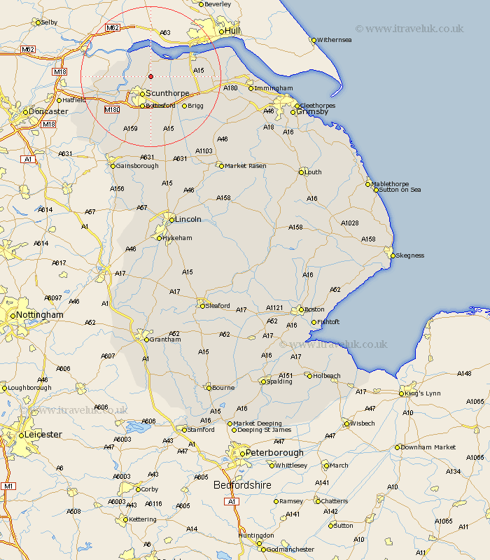
Lincolnshire Map Showing Location of Roxby
Population: 423
Easting: 491460 Northing: 416112
Latitude: 53.63 Longitude: -0.62
 = Roxby
Easting: 491460 Northing: 416112
Latitude: 53.63 Longitude: -0.62
= Roxby
This Roxby map below is supplied by Google. Use the tools in the top left corner to zoom into street level or zoom out for a road map, you may also need to zoom in to see Roxby on the map. Click and drag the map to move around. If the map fails to load try and refresh your browser or zoom in or out (+ or -).
Update - it seems Google no longer allow people to use their maps for free! This Roxby map sometimes loads and sometimes gives a error. I am working on a solution.
Closest 30 Towns or Cities to Roxby (Population over 500)
Winterton 2.16km Appleby 3.78km Flixborough 4.77km Burton upon Stather 4.77km Burton 4.77km Winteringham 5.67km Scunthorpe 5.98km South Ferriby 8.54km Keadby 8.54km Broughton 8.61km Gunness 9.49km Gunhouse 9.49km Bottesford 9.52km Messingham 11.34km Burringham 11.5km Wrawby 12.36km Scawby 12.41km West Butterwick 12.78km Brigg 12.78km Crowle 13.7km Hibaldstow 15.81km Barnetby le Wold 16.1km Barnetby 16.1km Belton 16.13km Barrow on Humber 16.35km Barrow-upon-Humber 16.35km Barrow-on-Humber 16.35km Barrow 16.35km Barrow upon Humber 16.35km Scotter 17km