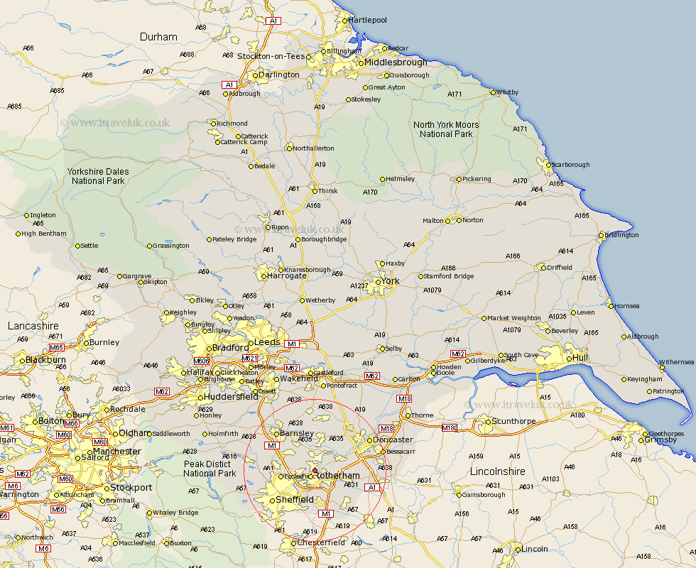
Yorkshire Map Showing Location of Rawmarsh
Population: 17674
Area Size (ha): 327
District: Rotherham
Easting: 444269 Northing: 395039
Latitude: 53.45 Longitude: -1.33
 = Rawmarsh
Area Size (ha): 327
District: Rotherham
Easting: 444269 Northing: 395039
Latitude: 53.45 Longitude: -1.33
= Rawmarsh
This Rawmarsh map below is supplied by Google. Use the tools in the top left corner to zoom into street level or zoom out for a road map, you may also need to zoom in to see Rawmarsh on the map. Click and drag the map to move around. If the map fails to load try and refresh your browser or zoom in or out (+ or -).
Update - it seems Google no longer allow people to use their maps for free! This Rawmarsh map sometimes loads and sometimes gives a error. I am working on a solution.
Closest 30 Towns or Cities to Rawmarsh (Population over 500)
Rotherdam 2.16km Rotherham 2.16km Thrybergh 2.21km Swinton 3.86km Wickersley 4.97km Whiston 5.56km Wath-on-Dearne 5.67km Wath 5.67km Wath upon Dearne 5.67km Wath on Dearne 5.67km Mexborough 5.76km Bramley 5.76km Wentworth 5.82km Treeton 7.5km Orgreave 7.74km Conisborough 7.94km Conisbrough 7.94km Wombwell 8.63km Brampton en le Morthern 8.63km Brampton en le Morthen 8.63km Brampton 8.63km Braithwell 9.02km Ecclesfield 9.02km Hoyland Nether 9.51km Hoyland 9.51km Dearne 9.52km Tankersley 9.57km Maltby 9.58km Darsfield 9.83km Darfield 9.83km