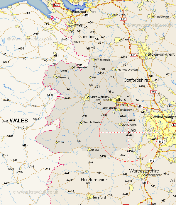
Shropshire Map Showing Location of Quat
Population: 219
District: Bridgnorth
Easting: 376234 Northing: 287362
Latitude: 52.48 Longitude: -2.35
 = Quat
District: Bridgnorth
Easting: 376234 Northing: 287362
Latitude: 52.48 Longitude: -2.35
= Quat
This Quat map below is supplied by Google. Use the tools in the top left corner to zoom into street level or zoom out for a road map, you may also need to zoom in to see Quat on the map. Click and drag the map to move around. If the map fails to load try and refresh your browser or zoom in or out (+ or -).
Update - it seems Google no longer allow people to use their maps for free! This Quat map sometimes loads and sometimes gives a error. I am working on a solution.
Closest 30 Towns or Cities to Quat (Population over 500)
Alveley 3.7km Highley 4.34km Claverley 6.51km Bridgnorth 7.16km Worfield 7.5km Kinlet 8.67km Cleobury Mortimer 14.33km Ditton Priors 14.79km Barrow Bridge 15.19km Barrow 15.19km Broseley 17.36km Madeley 17.6km Albrighton 17.61km Ironbridge 18.45km Much Wenlock 18.74km Shifnal 20.42km Dawley 21.86km Bitterley 22.34km Telford 24.08km Cressage 24.56km Oakengates 24.74km Diddlebury 24.9km Rushbury 25.1km Hadley 25.72km Ketley 25.72km Caynham 26.09km Downington 26.56km Donnington 26.56km Wellington 26.6km Trench 27.12km