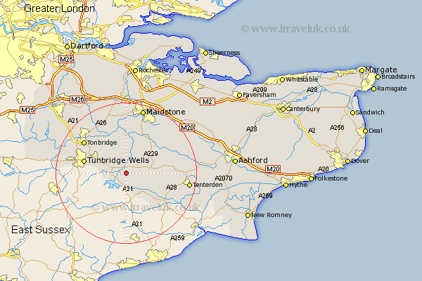
Kent Map Showing Location of Goudhurst
Population: 3204
District: Tunbridge Wells
Easting: 571518 Northing: 136324
Latitude: 51.1 Longitude: 0.45
 = Goudhurst
District: Tunbridge Wells
Easting: 571518 Northing: 136324
Latitude: 51.1 Longitude: 0.45
= Goudhurst
This Goudhurst map below is supplied by Google. Use the tools in the top left corner to zoom into street level or zoom out for a road map, you may also need to zoom in to see Goudhurst on the map. Click and drag the map to move around. If the map fails to load try and refresh your browser or zoom in or out (+ or -).
Update - it seems Google no longer allow people to use their maps for free! This Goudhurst map sometimes loads and sometimes gives a error. I am working on a solution.
Closest 30 Towns or Cities to Goudhurst (Population over 500)
Horsmonden 2.19km Lamberhurst 5.01km Brenchley 5.09km Cranbrook 6.11km Staplehurst 8.05km Marden 8.2km Hawkhurst 8.2km Paddock Wood 8.75km Frittenden 10.02km Pembury 10.02km Benenden 10.85km Beneden 10.85km Hunton 11.36km East Peckham 12.05km Turnbridge Wells 12.21km Royal Tunbridge Wells 12.21km Tunbridge Wells 12.21km Sandhurst 12.34km Biddenden 12.8km Headcorn 12.89km Yalding 13.03km Linton 13.78km Boughton Monchelsea 14.22km Sutton Valence 14.5km Rolvenden 14.8km Tonbridge 14.87km Hadlow 15.32km Loose 15.53km Southborough 16.11km Bidborough 16.11km