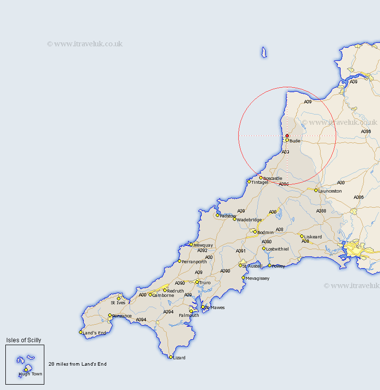
Cornwall Map Showing Location of Poughill
District: North Cornwall
Easting: 221693 Northing: 108728
Latitude: 50.85 Longitude: -4.53
 = Poughill
Easting: 221693 Northing: 108728
Latitude: 50.85 Longitude: -4.53
= Poughill
This Poughill map below is supplied by Google. Use the tools in the top left corner to zoom into street level or zoom out for a road map, you may also need to zoom in to see Poughill on the map. Click and drag the map to move around. If the map fails to load try and refresh your browser or zoom in or out (+ or -).
Update - it seems Google no longer allow people to use their maps for free! This Poughill map sometimes loads and sometimes gives a error. I am working on a solution.
Closest 30 Towns or Cities to Poughill (Population over 500)
Bude 1.86km Kilkhampton 5.1km Markhamchurch 5.68km Marhamchurch 5.68km Morwenstow 5.68km Moorwinstow 5.68km Pounstock 9.34km Poundstock 9.34km North Petherwin 19.83km Forrabury 22.58km Tintagel 25.45km Launceston 26.8km Altarnun 27.8km Camelford 28.01km South Petherwin 28.01km Lewannick 28.68km Lezant 32.34km North Hill 34.09km Linkinhorne 37.12km Blisland 38.54km Cardingham 41.6km Cardinham 41.6km Callington 42.25km Wadebridge 42.66km Dobwalls 44.49km Bodmin 44.54km Liskeard 44.86km Padstow 45.1km Bere Alston 47.06km Calstock 47.06km