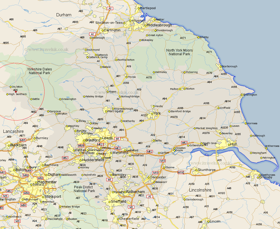
Yorkshire Map Showing Location of Newby
District: Craven
Easting: 372766 Northing: 469081
Latitude: 54.12 Longitude: -2.42
 = Newby
Easting: 372766 Northing: 469081
Latitude: 54.12 Longitude: -2.42
= Newby
This Newby map below is supplied by Google. Use the tools in the top left corner to zoom into street level or zoom out for a road map, you may also need to zoom in to see Newby on the map. Click and drag the map to move around. If the map fails to load try and refresh your browser or zoom in or out (+ or -).
Update - it seems Google no longer allow people to use their maps for free! This Newby map sometimes loads and sometimes gives a error. I am working on a solution.
Closest 30 Towns or Cities to Newby (Population over 500)
Clapham 2.86km Ingleton 4.93km High Bentham 5.74km Bentham 5.74km Burton in Lonsdale 7.82km Settle 11.25km Giggleswick 12.28km Long Preston 16.93km Hellifield 19.76km Hawes 24.78km Gargrave 25.44km Threshfield 27.12km Grassington 28.8km Earby 29.64km Skipton 30.99km Bradley 31.33km Carlton 31.46km Carleton 31.46km Embsay 32.84km Cononley 34.32km Glusburn 36.36km Sutton-in-Craven 38.41km Silsden 39.73km Steeton 40.05km Addingham 40.37km Keighley 41.73km Bewerley 42.54km Middleham 43.2km Leyburn 44.02km Ilkley 45.07km