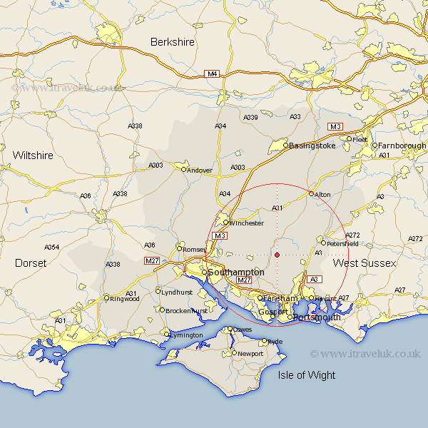
Hampshire Map Showing Location of Meonstoke
District: Winchester
Easting: 462020 Northing: 119018
Latitude: 50.97 Longitude: -1.12
 = Meonstoke
Easting: 462020 Northing: 119018
Latitude: 50.97 Longitude: -1.12
= Meonstoke
This Meonstoke map below is supplied by Google. Use the tools in the top left corner to zoom into street level or zoom out for a road map, you may also need to zoom in to see Meonstoke on the map. Click and drag the map to move around. If the map fails to load try and refresh your browser or zoom in or out (+ or -).
Update - it seems Google no longer allow people to use their maps for free! This Meonstoke map sometimes loads and sometimes gives a error. I am working on a solution.
Closest 30 Towns or Cities to Meonstoke (Population over 500)
Corhampton 1.17km Droxford 2.19km Soberton 3.89km Swanmore 5.1km West Meon 6.03km East Meon 6.12km Hambledon 6.57km Bishop's Waltham 7.25km Bishops Waltham 7.25km Shedfield 7.26km Shidfield 7.26km Bramdean 7.41km Waltham Chase 8.06km Upham 8.17km Wickham 8.2km Clanfield 8.98km Durley 9.52km Froxfield 9.88km Cheriton 9.9km Horndean 10.87km Curdridge 10.87km Curbridge 10.87km Southwick 11.12km Owslebury 11.13km Ropley 11.36km Buriton 11.67km Botley 11.89km Waterloo 13.15km Waterlooville 13.15km Petersfield 13.36km