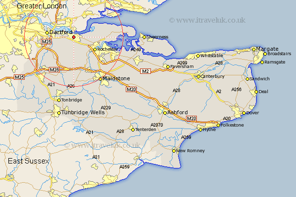
Kent Map Showing Location of Gravesend
Population: 50413
Area Size (ha): 985
District: Gravesham
Easting: 564490 Northing: 173189
Latitude: 51.43 Longitude: 0.37
 = Gravesend
Area Size (ha): 985
District: Gravesham
Easting: 564490 Northing: 173189
Latitude: 51.43 Longitude: 0.37
= Gravesend
This Gravesend map below is supplied by Google. Use the tools in the top left corner to zoom into street level or zoom out for a road map, you may also need to zoom in to see Gravesend on the map. Click and drag the map to move around. If the map fails to load try and refresh your browser or zoom in or out (+ or -).
Update - it seems Google no longer allow people to use their maps for free! This Gravesend map sometimes loads and sometimes gives a error. I am working on a solution.
Closest 30 Towns or Cities to Gravesend (Population over 500)
Northfleet 2.31km Swanscombe 3.47km Southfleet 5.07km Stonewood 5.78km Shorne 5.92km Cobham 6.02km Longfield 6.55km Higham 6.93km Meopham 7.41km Hartley 8.18km Darenth 9.43km Rochester 10.01km Ash 10.35km Dartford 10.56km Strood 10.79km Cuxton 10.92km Ridley 11.65km Wilmington 11.7km Chatham 11.8km High Halstow 12.71km Farningham 12.77km Wouldham 13.11km West Kingsdown 13.75km Snodland 13.77km Eynsford 13.93km Hoo 14.35km Hextable 14.8km Ryarsh 14.87km Gillingham 14.92km Swanley 14.95km