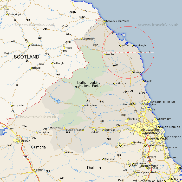
Northumberland Map Showing Location of Lucker
Population: 195
District: Berwick-upon-Tweed
Easting: 415771 Northing: 628506
Latitude: 55.55 Longitude: -1.75
 = Lucker
District: Berwick-upon-Tweed
Easting: 415771 Northing: 628506
Latitude: 55.55 Longitude: -1.75
= Lucker
This Lucker map below is supplied by Google. Use the tools in the top left corner to zoom into street level or zoom out for a road map, you may also need to zoom in to see Lucker on the map. Click and drag the map to move around. If the map fails to load try and refresh your browser or zoom in or out (+ or -).
Update - it seems Google no longer allow people to use their maps for free! This Lucker map sometimes loads and sometimes gives a error. I am working on a solution.
Closest 30 Towns or Cities to Lucker (Population over 500)
North Sunderland 5.56km Beadnell 7.34km Belford 7.64km Embleton 11.2km Wooler 15.84km Lowick 16.47km Alnwick 16.97km Almwick 16.97km Alnmouth 19.17km Lesbury 20.35km Lisburg 20.35km Shilbottle 20.81km Ancroft 22.9km Warkworth 23.78km Amble 26.29km Rothbury 27.61km Swarland 27.82km East Ord 27.83km Ord 27.83km Longframlington 29.73km Felton 29.82km East Thirston 29.95km Thirston 29.95km Berwick-upon-Tweed 30.32km Berwick-on-Tweed 30.32km Berwick 30.32km Berwick on Tweed 30.32km Berwick-Upon-Tweed 30.32km Berwick upon Tweed 30.32km Norham 31.21km