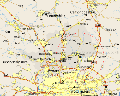
Hertfordshire Map Showing Location of Great Amwell
Population: 2239
District: East Hertfordshire
Easting: 536793 Northing: 211314
Latitude: 51.78 Longitude: -0.02
 = Great Amwell
District: East Hertfordshire
Easting: 536793 Northing: 211314
Latitude: 51.78 Longitude: -0.02
= Great Amwell
This Great Amwell map below is supplied by Google. Use the tools in the top left corner to zoom into street level or zoom out for a road map, you may also need to zoom in to see Great Amwell on the map. Click and drag the map to move around. If the map fails to load try and refresh your browser or zoom in or out (+ or -).
Update - it seems Google no longer allow people to use their maps for free! This Great Amwell map sometimes loads and sometimes gives a error. I am working on a solution.
Closest 30 Towns or Cities to Great Amwell (Population over 500)
Little Amwell 1.15km Ware 2.18km Stanstead Abbots 2.29km Hoddesdon 3.88km Hertford 3.91km Widford 5.06km Thundridge 5.56km Hertingfordbury 5.73km Stapleford 7.98km Cheshunt 9.33km Watton at Stone 9.37km Watton 9.37km Harmer Green 9.51km Little Munden 9.55km Tewin 9.89km Essendon 9.89km Much Hadham 10.11km Bishops Hatfield 10.48km Cuffley 11.54km Standon 11.64km Datchworth 11.79km Sawbridgeworth 12.05km Benington 12.51km Bennington 12.51km Garden City 12.74km Welwyn Garden City 12.74km Brookmans Park 12.75km Little Hadham 13.07km Braughing 13.18km Knebworth 13.65km