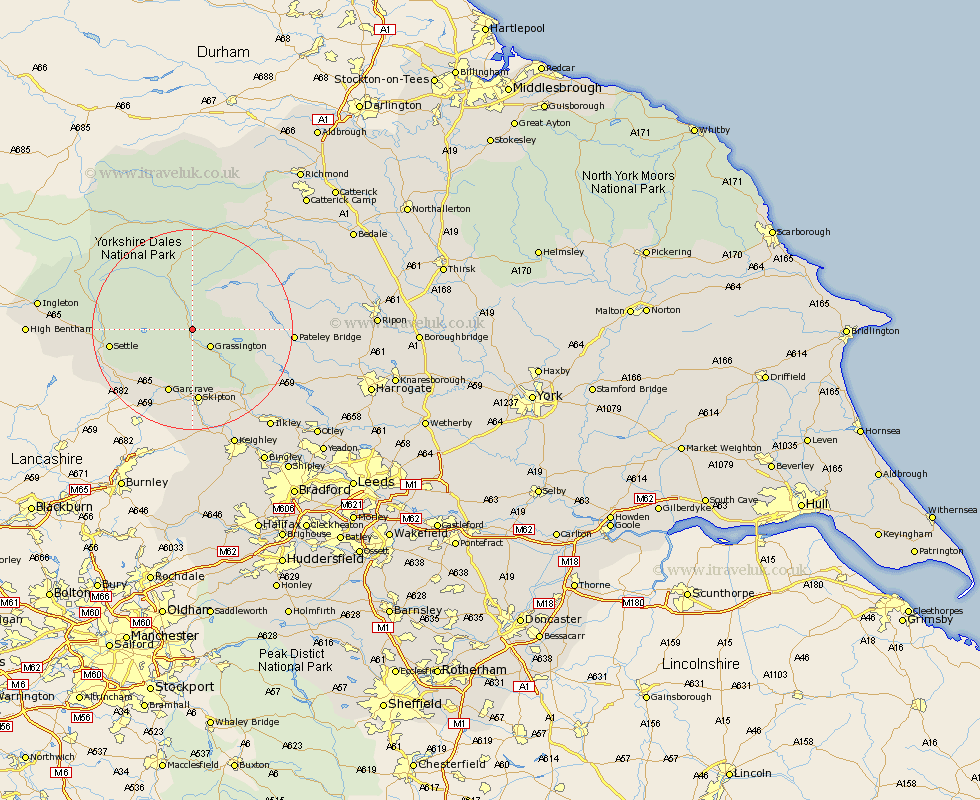
Yorkshire Map Showing Location of Kilnsey
District: Craven
Easting: 397820 Northing: 467143
Latitude: 54.1 Longitude: -2.03
 = Kilnsey
Easting: 397820 Northing: 467143
Latitude: 54.1 Longitude: -2.03
= Kilnsey
This Kilnsey map below is supplied by Google. Use the tools in the top left corner to zoom into street level or zoom out for a road map, you may also need to zoom in to see Kilnsey on the map. Click and drag the map to move around. If the map fails to load try and refresh your browser or zoom in or out (+ or -).
Update - it seems Google no longer allow people to use their maps for free! This Kilnsey map sometimes loads and sometimes gives a error. I am working on a solution.
Closest 30 Towns or Cities to Kilnsey (Population over 500)
Grassington 4.94km Threshfield 5.67km Bradley 13.68km Gargrave 13.69km Skipton 14.86km Embsay 15.18km Settle 15.66km Giggleswick 16.21km Bewerley 17.49km Hellifield 17.65km Long Preston 17.99km Carlton 18.57km Carleton 18.57km Cononley 20.41km Addingham 20.97km Earby 21.1km Dacre 21.39km Glusburn 22.35km Clapham 22.82km Darley 22.98km Silsden 23.18km Sutton-in-Craven 24.32km Steeton 24.7km Hawes 24.74km Middleham 24.78km Ilkley 24.82km Keighley 25.27km Kirkby Malzeard 26.05km Leyburn 26.33km Grewelthorpe 26.63km