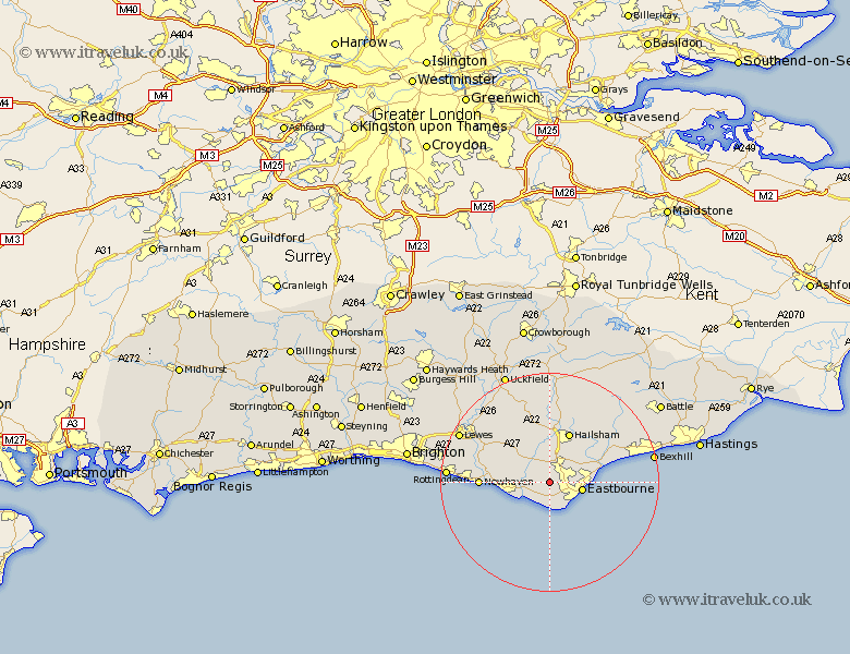
Sussex Map Showing Location of Jevington
Population: 6218
District: Wealden
Easting: 556243 Northing: 100596
Latitude: 50.78 Longitude: 0.22
 = Jevington
District: Wealden
Easting: 556243 Northing: 100596
Latitude: 50.78 Longitude: 0.22
= Jevington
This Jevington map below is supplied by Google. Use the tools in the top left corner to zoom into street level or zoom out for a road map, you may also need to zoom in to see Jevington on the map. Click and drag the map to move around. If the map fails to load try and refresh your browser or zoom in or out (+ or -).
Update - it seems Google no longer allow people to use their maps for free! This Jevington map sometimes loads and sometimes gives a error. I am working on a solution.
Closest 30 Towns or Cities to Jevington (Population over 500)
Polegate 2.2km Friston 3.88km Alfriston 5.04km Eastbourne 6.04km Seaford 8.41km Chalvington 8.77km Pevensey 9.55km Hellingly 9.57km Hailsham 9.92km Pevensey Bay 10.71km Laughton 12.57km Newhaven 12.89km Chiddingly 13.19km Hurstmonceaux 13.81km Herstmonceux 13.81km Hurstmonceux 13.81km Horeham 15.02km Horam 15.02km East Hoathly 15.24km Ringmer 15.32km Ninfield 16.83km Warbleton 17.32km Kingston near Lewes 17.99km Kingston 17.99km Barcombe Mills Station 18.28km Lewes 18.83km Rottingdean 18.84km Heathfield 18.87km Saltdean 19.24km Bexhill 19.39km