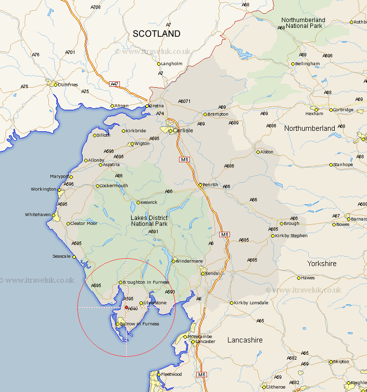
Cumbria Map Showing Location of Ireleth
District: Barrow-in-Furness
Easting: 322783 Northing: 477056
Latitude: 54.18 Longitude: -3.18
 = Ireleth
Easting: 322783 Northing: 477056
Latitude: 54.18 Longitude: -3.18
= Ireleth
This Ireleth map below is supplied by Google. Use the tools in the top left corner to zoom into street level or zoom out for a road map, you may also need to zoom in to see Ireleth on the map. Click and drag the map to move around. If the map fails to load try and refresh your browser or zoom in or out (+ or -).
Update - it seems Google no longer allow people to use their maps for free! This Ireleth map sometimes loads and sometimes gives a error. I am working on a solution.
Closest 30 Towns or Cities to Ireleth (Population over 500)
Askam in Furness 2.17km Askam 2.17km Lindal in Furness 2.85km Lindal 2.85km Pennington 3.25km Dalton in Furness 3.86km Dalton 3.86km Great Urswick 5.7km Ulverstone 5.73km Ulverston 5.73km Millom 5.73km Aldingham 9.18km Isle of Walney 11.59km Haverthwaite 12.18km Colton 12.69km Lower Holker 14.1km Holker 14.1km Bootle 15.1km Conistan 21.75km Coniston 21.75km Arnside 22.77km Hawkshead 23.61km Windermere 26.75km Levens 27.04km Beetham 27.17km Milnthorpe 27.35km Heversham 27.66km Gosforth 29.05km Ambleside 29.52km Seascale 29.56km