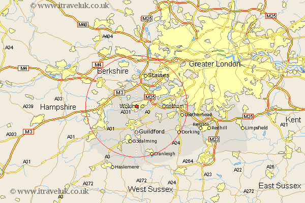
Surrey Map Showing Location of Horsell
District: Woking
Easting: 499878 Northing: 158541
Latitude: 51.32 Longitude: -0.57
 = Horsell
Easting: 499878 Northing: 158541
Latitude: 51.32 Longitude: -0.57
= Horsell
This Horsell map below is supplied by Google. Use the tools in the top left corner to zoom into street level or zoom out for a road map, you may also need to zoom in to see Horsell on the map. Click and drag the map to move around. If the map fails to load try and refresh your browser or zoom in or out (+ or -).
Update - it seems Google no longer allow people to use their maps for free! This Horsell map sometimes loads and sometimes gives a error. I am working on a solution.
Closest 30 Towns or Cities to Horsell (Population over 500)
Woking 2.32km Chobham 2.96km Ottershaw 4.37km Send 4.38km Worplesdon 4.38km Bisley 4.99km Pirbright 5.94km Ripley 6.88km Byfleet 7.19km Addlestone 8.03km Windlesham 8.03km Chertsey 8.73km West Clandon 8.75km Weybridge 8.9km Virginia Water 9.55km Bagshot 9.83km West Horsley 9.83km Normandy 10.17km Church Cobham 10.42km Cobham 10.42km Deepcut 10.59km Shepperton 10.98km Egham 11.12km Guildford 11.12km Guilford 11.12km Chilworth 11.65km Saint Martha 11.65km St Martha 11.65km St. Martha 11.65km Frimley 11.73km