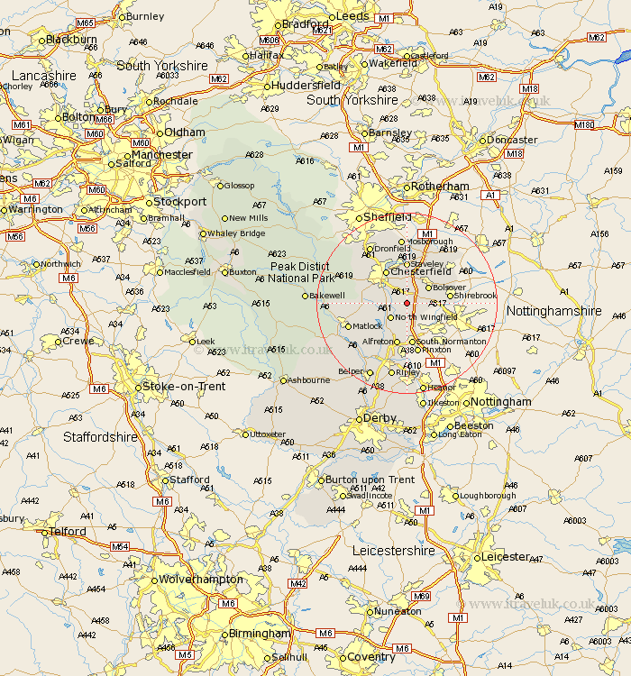
Derbyshire Map Showing Location of Holmewood
District: North East Derbyshire
Easting: 443432 Northing: 365362
Latitude: 53.18 Longitude: -1.35
 = Holmewood
Easting: 443432 Northing: 365362
Latitude: 53.18 Longitude: -1.35
= Holmewood
This Holmewood map below is supplied by Google. Use the tools in the top left corner to zoom into street level or zoom out for a road map, you may also need to zoom in to see Holmewood on the map. Click and drag the map to move around. If the map fails to load try and refresh your browser or zoom in or out (+ or -).
Update - it seems Google no longer allow people to use their maps for free! This Holmewood map sometimes loads and sometimes gives a error. I am working on a solution.
Closest 30 Towns or Cities to Holmewood (Population over 500)
Heath 2.16km Ault Hucknall 3.33km Pilsley 3.87km North Wingfield 4.8km Tibshelf 5.67km Clay Cross 5.78km Bolsover 5.79km Wingerworth 5.85km Morton 5.99km Stretton 7.12km Blackwell 7.49km Shirland 8.12km Brimington 8.13km Walton 8.61km Chesterfield 8.64km Shirebrook 9.07km Ashover 9.08km Staveley 9.27km South Normanton 9.33km Alfreton 9.52km Elmton 9.97km Pinxton 11.34km Clowne 11.42km Old Brampton 11.43km Brampton 11.43km Creswell 11.57km Cresswell 11.57km Barlborough 11.97km Tansley 12.43km Unstone 12.43km