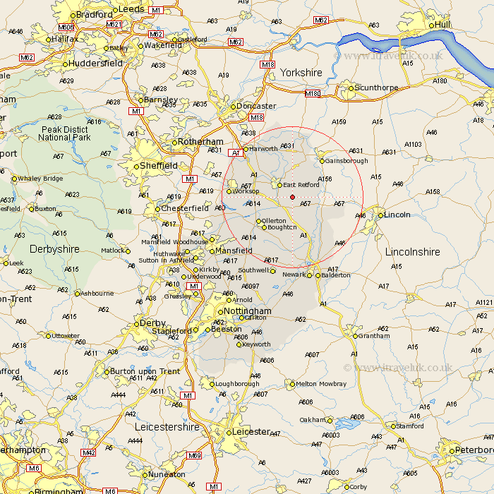
Nottinghamshire Map Showing Location of Headon
Population: 166
District: Bassetlaw
Easting: 474439 Northing: 376870
Latitude: 53.28 Longitude: -0.88
 = Headon
District: Bassetlaw
Easting: 474439 Northing: 376870
Latitude: 53.28 Longitude: -0.88
= Headon
This Headon map below is supplied by Google. Use the tools in the top left corner to zoom into street level or zoom out for a road map, you may also need to zoom in to see Headon on the map. Click and drag the map to move around. If the map fails to load try and refresh your browser or zoom in or out (+ or -).
Update - it seems Google no longer allow people to use their maps for free! This Headon map sometimes loads and sometimes gives a error. I am working on a solution.
Closest 30 Towns or Cities to Headon (Population over 500)
Grove 2.16km East Markham 3.7km Markham 3.7km East Retford 4.98km North Leverton 5.78km Elksley 5.84km Elkesley 5.84km Rampton 5.84km Bampton 5.84km Tuxford 7.41km Hayton 7.5km Clarborough 7.5km Walesby 8.67km Sutton 9.96km Ollerton 11.56km Boughton 11.81km Ranskill 12.82km Ramskill 12.82km Gringley on the Hill 13.02km Gringley-on-the-Hill 13.02km Gringley 13.02km Beckingham 13.39km Everton 13.71km Mattersey 14.11km Walkeringham 15.2km Blyth 15.31km Edwinstowe 16.51km Worksop 16.72km North Collingham 17.28km Collingham 17.28km