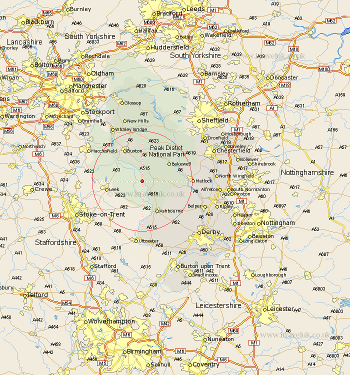
Derbyshire Map Showing Location of Hartington
Population: 362
District: Derbyshire Dales
Easting: 412264 Northing: 359619
Latitude: 53.13 Longitude: -1.82
 = Hartington
District: Derbyshire Dales
Easting: 412264 Northing: 359619
Latitude: 53.13 Longitude: -1.82
= Hartington
This Hartington map below is supplied by Google. Use the tools in the top left corner to zoom into street level or zoom out for a road map, you may also need to zoom in to see Hartington on the map. Click and drag the map to move around. If the map fails to load try and refresh your browser or zoom in or out (+ or -).
Update - it seems Google no longer allow people to use their maps for free! This Hartington map sometimes loads and sometimes gives a error. I am working on a solution.
Closest 30 Towns or Cities to Hartington (Population over 500)
Middleton 7.63km Youlgreave 8.62km Winster 11.12km Brassington 12.44km Bakewell 12.45km Longstone 13.57km Great Longstone 13.57km Ashbourne 14.11km Buxton 14.59km Darley Dale 14.92km Tideswell 15.2km Clifton 15.48km Bonsall 15.68km Cromford 17.09km Baslow 17.36km Wirksworth 17.59km Matlock Bath 17.88km Stoney Middleton 18.53km Stony Middleton 18.53km Matlock 18.9km Eyam 19.44km Tansley 20.01km Grindleford Bridge 20.67km Grindleford 20.67km Bradwell 20.87km Chapel en le Frith 21.13km Castleton 22.49km Ashover 22.54km Crich 22.93km Hathersage 23.22km