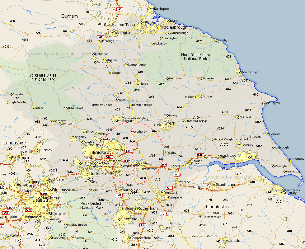
Yorkshire Map Showing Location of Garforth
Population: 14911
Area Size (ha): 326
District: Leeds
Easting: 440627 Northing: 432086
Latitude: 53.78 Longitude: -1.38
 = Garforth
Area Size (ha): 326
District: Leeds
Easting: 440627 Northing: 432086
Latitude: 53.78 Longitude: -1.38
= Garforth
This Garforth map below is supplied by Google. Use the tools in the top left corner to zoom into street level or zoom out for a road map, you may also need to zoom in to see Garforth on the map. Click and drag the map to move around. If the map fails to load try and refresh your browser or zoom in or out (+ or -).
Update - it seems Google no longer allow people to use their maps for free! This Garforth map sometimes loads and sometimes gives a error. I am working on a solution.
Closest 30 Towns or Cities to Garforth (Population over 500)
Kippax 2.15km Swillington 2.86km Micklefield 3.77km Scholes 4.31km Aberford 4.96km Rothwell 7.54km Castleford 7.72km Thorner 7.73km Sherburn 8.95km Sherburn in Elmet 8.95km South Milford 8.95km Featherstone 9.33km Lofthouse 9.47km Normanton 9.52km Scarcroft 10.25km Monk Fryston 10.53km Brotherton 10.66km Bramham 11.33km Stanley 11.36km Wakefield 11.36km East Keswick 11.49km Church Fenton 11.56km Bardsey 11.59km Pontefract 12.4km Collingham 13.02km Boston Spa 13.16km Ulleskelf 13.22km Leeds 13.27km Tadcaster 13.5km Knottingley 13.53km