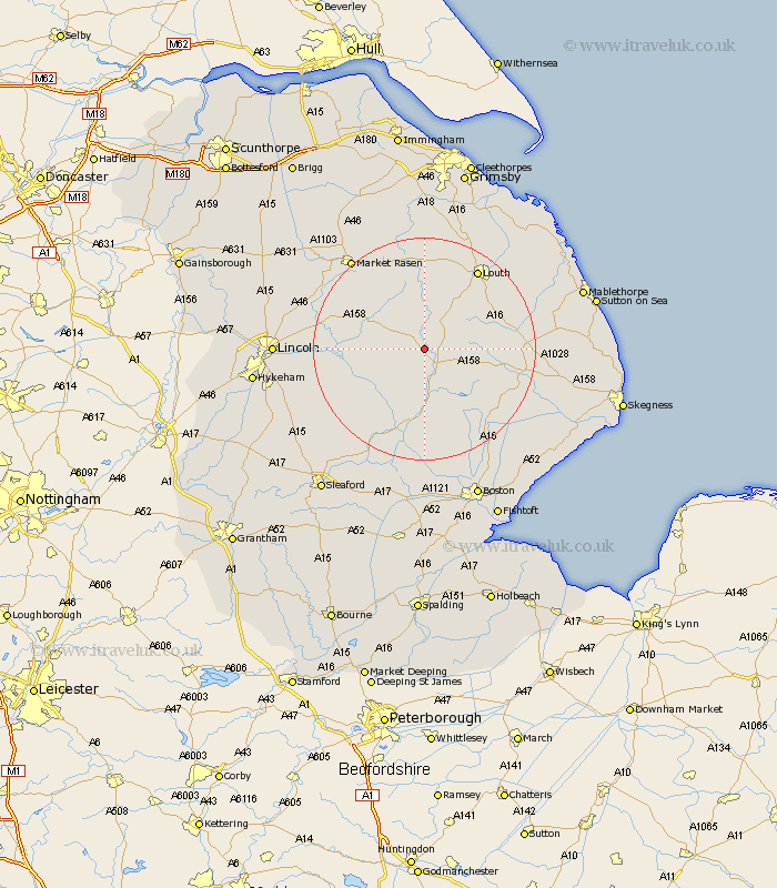
Lincolnshire Map Showing Location of Edlington
Population: 147
District: East Lindsey
Easting: 523465 Northing: 372324
Latitude: 53.23 Longitude: -0.15
 = Edlington
District: East Lindsey
Easting: 523465 Northing: 372324
Latitude: 53.23 Longitude: -0.15
= Edlington
This Edlington map below is supplied by Google. Use the tools in the top left corner to zoom into street level or zoom out for a road map, you may also need to zoom in to see Edlington on the map. Click and drag the map to move around. If the map fails to load try and refresh your browser or zoom in or out (+ or -).
Update - it seems Google no longer allow people to use their maps for free! This Edlington map sometimes loads and sometimes gives a error. I am working on a solution.
Closest 30 Towns or Cities to Edlington (Population over 500)
Banovallum 4.32km Horncastle 4.32km Mareham on the Hill 7.86km Mareham 7.86km Mareham-on-the-Hill 7.86km Woodhall Spa 10.27km Bardney 11.25km Wragby 11.42km Coningsby 13.01km Holton 14.27km Tattershall 15.19km Louth 17.28km Legbourne 17.33km Spilsby 17.55km Martin 17.82km Carrington 17.96km Cherry Willingham 18.41km Potter Hanworth 18.61km Fiskerton 18.86km Reepham 18.86km Billinghay 18.9km Dunston 19.06km Nocton 19.24km Metheringham 20.03km Stickney 20.04km Sudbrooke 20.3km Market Rasen 20.65km Scothern 20.71km Washingborough 21.16km Heighington 21.41km