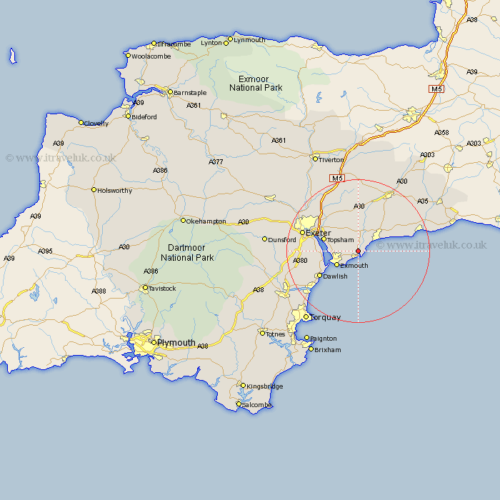
Devon Map Showing Location of East Budleigh
Population: 769
District: East Devon
Easting: 306926 Northing: 84260
Latitude: 50.65 Longitude: -3.32
 = East Budleigh
District: East Devon
Easting: 306926 Northing: 84260
Latitude: 50.65 Longitude: -3.32
= East Budleigh
This East Budleigh map below is supplied by Google. Use the tools in the top left corner to zoom into street level or zoom out for a road map, you may also need to zoom in to see East Budleigh on the map. Click and drag the map to move around. If the map fails to load try and refresh your browser or zoom in or out (+ or -).
Update - it seems Google no longer allow people to use their maps for free! This East Budleigh map sometimes loads and sometimes gives a error. I am working on a solution.
Closest 30 Towns or Cities to East Budleigh (Population over 500)
Budleigh Salterton 2.19km Otterton 2.2km Colaton Raleigh 3.7km Colyton Raleigh 3.7km Newton Poppleford 5.68km Sidmouth 5.99km Woodbury Road Station 6.94km Lympstone 7.05km Exmouth 7.15km Aylesbeare 8.21km Topsham 10.1km Starcross 10.11km Kenton 10.74km Ottery St Mary 11.66km Ottery St. Mary 11.66km Ottery Saint Mary 11.66km Rockbeare 12.07km Exminster 12.32km Dawlish 12.92km Whimple 13.18km Branscombe 14.07km Talaton 14.82km Teignmouth 15.35km Broad Clyst 15.36km Gittisham 15.94km Exeter 16.25km Beer 16.25km Payhembury 16.72km Stoke Canon 18.3km Ide 18.47km