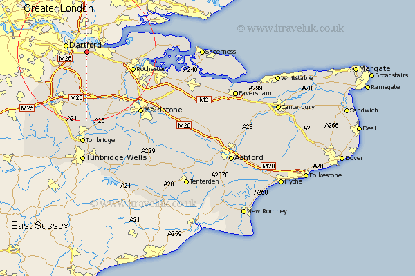
Kent Map Showing Location of Greenhithe
District: Dartford
Easting: 559857 Northing: 173041
Latitude: 51.43 Longitude: 0.3
 = Greenhithe
Easting: 559857 Northing: 173041
Latitude: 51.43 Longitude: 0.3
= Greenhithe
This Greenhithe map below is supplied by Google. Use the tools in the top left corner to zoom into street level or zoom out for a road map, you may also need to zoom in to see Greenhithe on the map. Click and drag the map to move around. If the map fails to load try and refresh your browser or zoom in or out (+ or -).
Update - it seems Google no longer allow people to use their maps for free! This Greenhithe map sometimes loads and sometimes gives a error. I am working on a solution.
Closest 30 Towns or Cities to Greenhithe (Population over 500)
Stonewood 1.16km Swanscombe 1.16km Northfleet 2.31km Southfleet 3.88km Gravesend 4.62km Darenth 4.98km Longfield 5.68km Dartford 6.07km Wilmington 7.17km Hartley 7.5km Meopham 8.73km Cobham 8.89km Ash 9.26km Farningham 9.39km Shorne 9.96km Hextable 10.7km Swanley 10.79km Eynsford 10.92km Ridley 11.18km Higham 11.55km West Kingsdown 11.64km Cuxton 13.93km Rochester 14.09km Wrotham 14.87km Strood 14.94km Shoreham 15.29km Kemsing 15.53km Ryarsh 15.91km Snodland 15.93km Chatham 16.02km