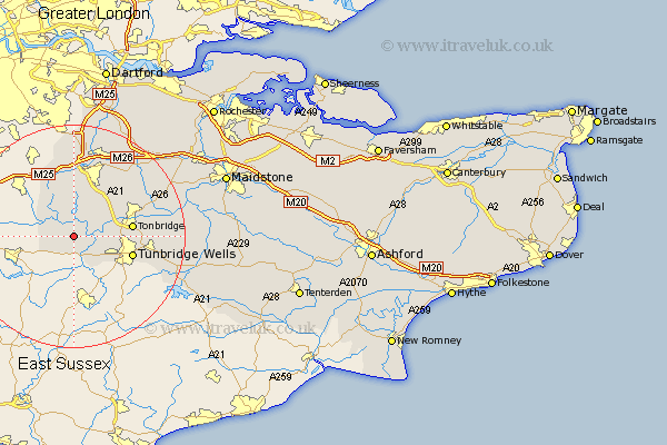
Kent Map Showing Location of Chiddingstone
Population: 1127
District: Sevenoaks
Easting: 549136 Northing: 143049
Latitude: 51.17 Longitude: 0.13
 = Chiddingstone
District: Sevenoaks
Easting: 549136 Northing: 143049
Latitude: 51.17 Longitude: 0.13
= Chiddingstone
This Chiddingstone map below is supplied by Google. Use the tools in the top left corner to zoom into street level or zoom out for a road map, you may also need to zoom in to see Chiddingstone on the map. Click and drag the map to move around. If the map fails to load try and refresh your browser or zoom in or out (+ or -).
Update - it seems Google no longer allow people to use their maps for free! This Chiddingstone map sometimes loads and sometimes gives a error. I am working on a solution.
Closest 30 Towns or Cities to Chiddingstone (Population over 500)
Hever 2.32km Penshurst 3.49km Edenbridge 5km Cowden 5.09km Leigh 6.1km Weald 6.56km Speldhurst 6.9km Bidborough 7.22km Southborough 7.22km Ide Hill 7.41km Hildenborough 7.89km Tonbridge 10.62km Royal Tunbridge Wells 11.1km Turnbridge Wells 11.1km Tunbridge Wells 11.1km Brasted 11.36km Westerham 11.65km Sevenoaks 12.05km Chevening 12.97km Pembury 13.32km Seal 14.2km Plaxtol 14.85km Knockholt 15km Hadlow 15.01km Otford 15.23km Kemsing 16.38km Halsted 16.68km Halstead 16.68km Fort Halstead 16.68km Shoreham 17.03km