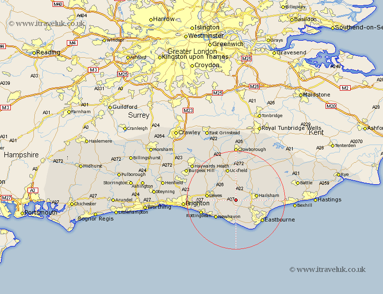
Sussex Map Showing Location of Chalvington
Population: 967
District: Wealden
Easting: 551328 Northing: 107873
Latitude: 50.85 Longitude: 0.15
 = Chalvington
District: Wealden
Easting: 551328 Northing: 107873
Latitude: 50.85 Longitude: 0.15
= Chalvington
This Chalvington map below is supplied by Google. Use the tools in the top left corner to zoom into street level or zoom out for a road map, you may also need to zoom in to see Chalvington on the map. Click and drag the map to move around. If the map fails to load try and refresh your browser or zoom in or out (+ or -).
Update - it seems Google no longer allow people to use their maps for free! This Chalvington map sometimes loads and sometimes gives a error. I am working on a solution.
Closest 30 Towns or Cities to Chalvington (Population over 500)
Laughton 3.88km Alfriston 5.56km Chiddingly 6.03km Ringmer 6.92km Hellingly 7.26km East Hoathly 7.51km Polegate 8.07km Hailsham 8.4km Jevington 8.77km Barcombe Mills Station 9.9km Seaford 9.91km Horeham 10.21km Horam 10.21km Isfield 10.95km Newhaven 11.05km Framfield 11.18km Friston 11.66km Kingston near Lewes 11.7km Kingston 11.7km Lewes 11.84km Warbleton 13.16km Hurstmonceaux 13.39km Hurstmonceux 13.39km Herstmonceux 13.39km Uckfield 13.44km Eastbourne 13.79km Heathfield 13.81km Plumpton 14.52km Chailey 14.53km Buxted 14.87km