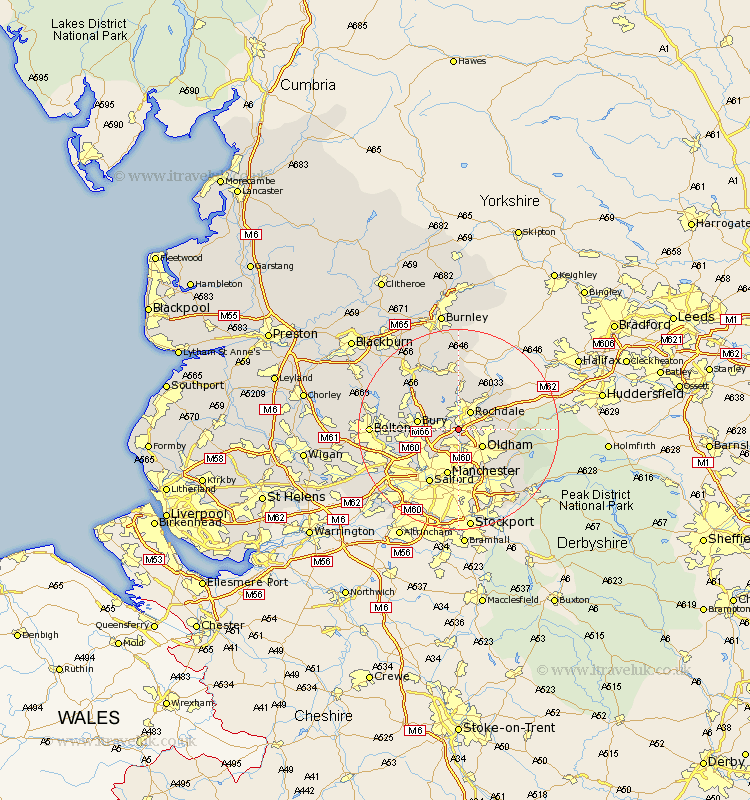
Lancashire Map Showing Location of Castleton
District: Rochdale
Easting: 387864 Northing: 409676
Latitude: 53.58 Longitude: -2.18
 = Castleton
Easting: 387864 Northing: 409676
Latitude: 53.58 Longitude: -2.18
= Castleton
This Castleton map below is supplied by Google. Use the tools in the top left corner to zoom into street level or zoom out for a road map, you may also need to zoom in to see Castleton on the map. Click and drag the map to move around. If the map fails to load try and refresh your browser or zoom in or out (+ or -).
Update - it seems Google no longer allow people to use their maps for free! This Castleton map sometimes loads and sometimes gives a error. I am working on a solution.
Closest 30 Towns or Cities to Castleton (Population over 500)
Heywood 2.2km Middleton 3.86km Rochdale 4.32km Royton 4.77km Oldham 5.75km Milnrow 5.8km Shaw 6.86km Whitworth 7.42km Littleborough 7.82km Bury 7.92km Failsworth 8.11km Wardle 8.12km Whitefield 8.55km Prestwich 8.63km Manchester 9.52km Tottington 10.07km Ramsbottom 10.41km Radcliffe 10.58km Ashton 10.78km Ashton under Lyne 10.78km Ashton-under-Lyne 10.78km Delph 11.16km Uppermill 11.23km Droylesden 11.34km Droylsden 11.34km Edenfield 12.05km Pendlebury 12.37km Salford 12.41km Little Lever 12.66km Bacup 12.98km