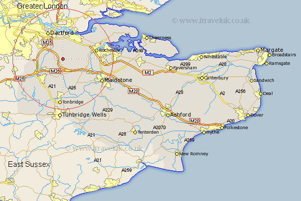
Kent Map Showing Location of Ash
Population: 2017
Area Size (ha): 63
District: Sevenoaks
Easting: 560148 Northing: 163780
Latitude: 51.35 Longitude: 0.3
 = Ash
= Ash
Area Size (ha): 63
District: Sevenoaks
Easting: 560148 Northing: 163780
Latitude: 51.35 Longitude: 0.3
= Ash
This Ash map below is supplied by Google. Use the tools in the top left corner to zoom into street level or zoom out for a road map, you may also need to zoom in to see Ash on the map. Click and drag the map to move around. If the map fails to load try and refresh your browser or zoom in or out (+ or -).
Update - it seems Google no longer allow people to use their maps for free! This Ash map sometimes loads and sometimes gives a error. I am working on a solution.
Closest 30 Towns or Cities to Ash (Population over 500)
Hartley 2.19km Ridley 2.19km Longfield 3.88km West Kingsdown 3.94km Meopham 4.99km Southfleet 5.68km Wrotham 5.68km Eynsford 5.79km Farningham 6.08km Kemsing 7.24km Borough Green 7.42km Cobham 7.87km Ryarsh 8.03km Darenth 8.74km Offham 8.74km Shoreham 8.91km Stonewood 9.33km Swanscombe 9.33km Seal 9.41km Northfleet 9.55km Hextable 9.67km Otford 9.83km Swanley 9.97km Snodland 9.98km Wilmington 10.16km West Malling 10.16km Addington 10.16km Gravesend 10.35km Cuxton 10.42km Shorne 10.8km