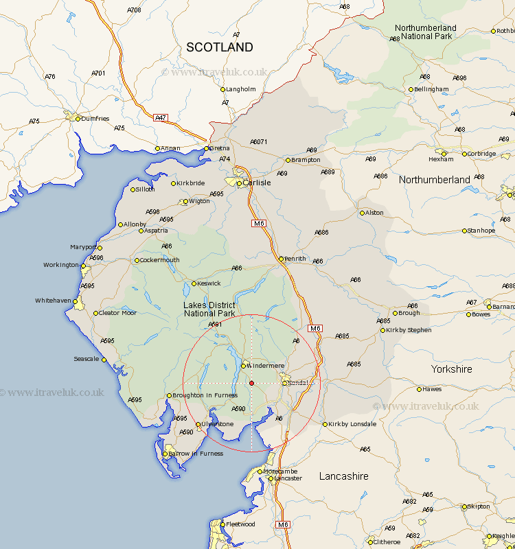
Cumbria Map Showing Location of Winster
District: South Lakeland
Easting: 342544 Northing: 491611
Latitude: 54.32 Longitude: -2.88
 = Winster
Easting: 342544 Northing: 491611
Latitude: 54.32 Longitude: -2.88
= Winster
This Winster map below is supplied by Google. Use the tools in the top left corner to zoom into street level or zoom out for a road map, you may also need to zoom in to see Winster on the map. Click and drag the map to move around. If the map fails to load try and refresh your browser or zoom in or out (+ or -).
Update - it seems Google no longer allow people to use their maps for free! This Winster map sometimes loads and sometimes gives a error. I am working on a solution.
Closest 30 Towns or Cities to Winster (Population over 500)
Windermere 5.96km Staveley 7.04km Kendall 8.65km Kendal 8.65km Hawkshead 9.39km Levens 9.86km Natland 10.42km Heversham 11.97km Colton 12.16km Ambleside 12.36km Haverthwaite 12.69km Conistan 13.12km Coniston 13.12km Milnthorpe 13.46km Beetham 15.03km Arnside 15.19km Holker 15.79km Lower Holker 15.79km Holme 18.36km Ulverston 19.14km Ulverstone 19.14km Pennington 22km Tebay 22.39km Kirkby Londsdale 23.41km Kirkby Lonsdale 23.41km Milnthorpe 23.78km Sedbergh 23.78km Millthrop 23.78km Great Urswick 23.95km Lindal 24.05km