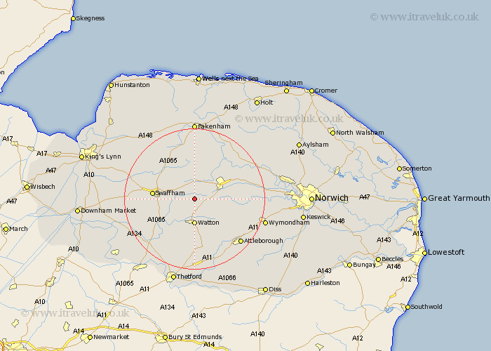
Norfolk Map Showing Location of West Bradenham
District: Breckland
Easting: 591714 Northing: 307757
Latitude: 52.63 Longitude: 0.83
 = West Bradenham
Easting: 591714 Northing: 307757
Latitude: 52.63 Longitude: 0.83
= West Bradenham
This West Bradenham map below is supplied by Google. Use the tools in the top left corner to zoom into street level or zoom out for a road map, you may also need to zoom in to see West Bradenham on the map. Click and drag the map to move around. If the map fails to load try and refresh your browser or zoom in or out (+ or -).
Update - it seems Google no longer allow people to use their maps for free! This West Bradenham map sometimes loads and sometimes gives a error. I am working on a solution.
Closest 30 Towns or Cities to West Bradenham (Population over 500)
Necton 3.85km Ashill 4.33km Shipdham 4.86km Carbooke 6.5km Carbrooke 6.5km Watton 7.41km Palgrave 7.7km Great Palgrave 7.7km East Dereham 8.74km Dereham 8.74km Yaxham 9.19km Griston 9.53km Litcham 9.54km Beetley 10.84km Mileham 11.18km Swaffham 11.4km Hingham 11.55km Rockland 12.46km Rockland St Peter 12.46km Rockland St. Peter 12.46km Rockland Saint Peter 12.46km Castle Acre 12.54km North Elmham 13.62km Mattishall 13.62km Great Ellingham 14.31km Hockham 15.2km Hockering 16.17km Bawdeswell 17.47km Narborough 17.76km Attleborough 17.93km