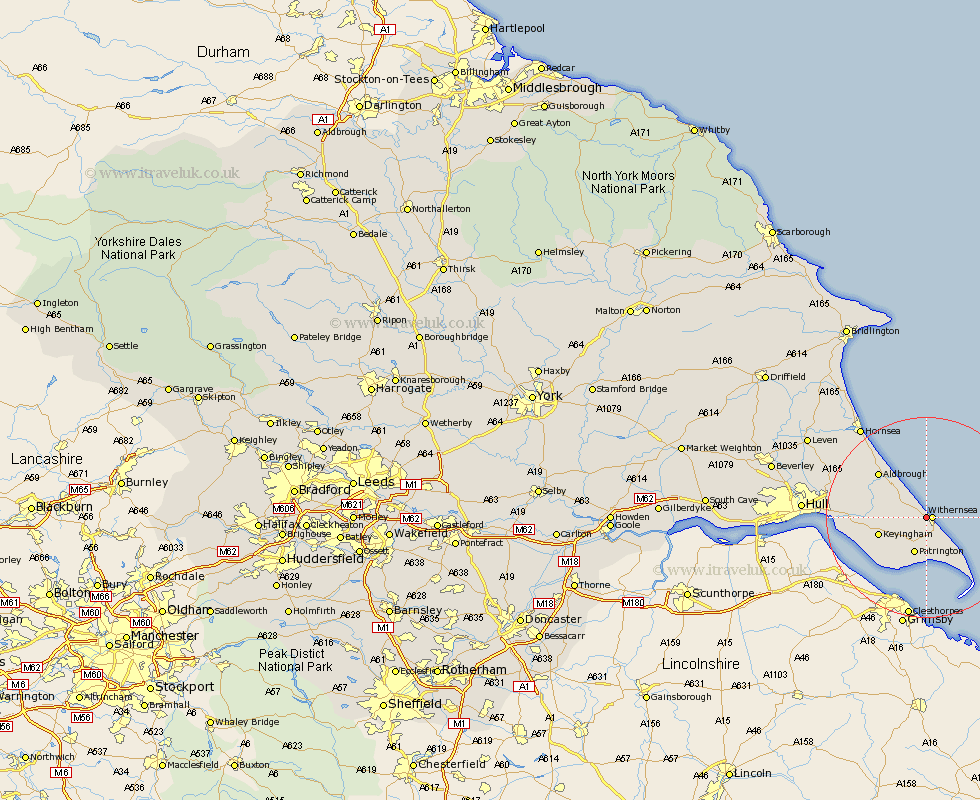
Yorkshire Map Showing Location of Waxholme
Easting: 533014 Northing: 428235
Latitude: 53.73 Longitude: 0.02
 = Waxholme
Latitude: 53.73 Longitude: 0.02
= Waxholme
This Waxholme map below is supplied by Google. Use the tools in the top left corner to zoom into street level or zoom out for a road map, you may also need to zoom in to see Waxholme on the map. Click and drag the map to move around. If the map fails to load try and refresh your browser or zoom in or out (+ or -).
Update - it seems Google no longer allow people to use their maps for free! This Waxholme map sometimes loads and sometimes gives a error. I am working on a solution.
Closest 30 Towns or Cities to Waxholme (Population over 500)
Withernsea 1.1km Roos 4.76km Ottringham 7.55km Patrington 7.72km Burton Pidsea 8.52km Keyingham 9.52km Burstwick 9.87km Easington 9.91km Walkington 10.26km Thorngumbald 12.2km Thorngumbold 12.2km Aldbrough 12.76km Hedon 13.16km Sproatley 14.28km Preston 14.72km Paull 16.55km Skirlaugh Station 19.83km Hornsea 22.1km Sutton-on-Hull 22.61km Sutton 22.61km Sutton on Hull 22.61km Kingston upon Hull 23.1km Hull 23.16km Wawne 25.21km Cottingham 26.88km Leven 27.52km Woodmansey 27.87km Brandsburton 29.12km Brandesburton 29.12km Anlaby 29.6km