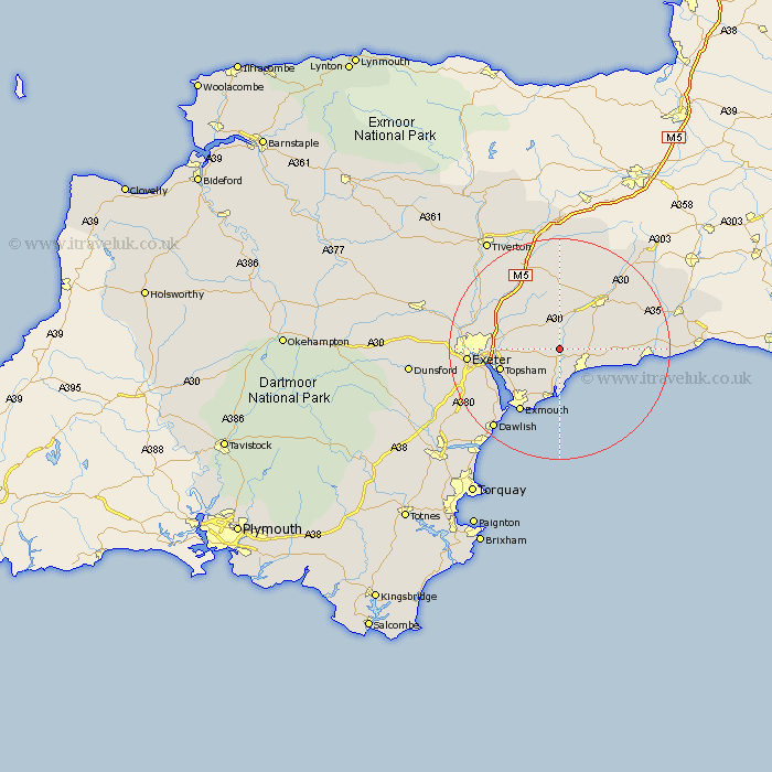
Devon Map Showing Location of Venn Ottery
District: East Devon
Easting: 308235 Northing: 91655
Latitude: 50.72 Longitude: -3.3
 = Venn Ottery
Easting: 308235 Northing: 91655
Latitude: 50.72 Longitude: -3.3
= Venn Ottery
This Venn Ottery map below is supplied by Google. Use the tools in the top left corner to zoom into street level or zoom out for a road map, you may also need to zoom in to see Venn Ottery on the map. Click and drag the map to move around. If the map fails to load try and refresh your browser or zoom in or out (+ or -).
Update - it seems Google no longer allow people to use their maps for free! This Venn Ottery map sometimes loads and sometimes gives a error. I am working on a solution.
Closest 30 Towns or Cities to Venn Ottery (Population over 500)
Newton Poppleford 1.86km Colaton Raleigh 3.9km Colyton Raleigh 3.9km Ottery St Mary 4.38km Ottery St. Mary 4.38km Ottery Saint Mary 4.38km Aylesbeare 4.69km Sidmouth 5.12km Otterton 5.56km Whimple 6.58km Rockbeare 6.94km Talaton 7.5km East Budleigh 7.51km Woodbury Road Station 7.96km Gittisham 8.77km Payhembury 9.26km Budleigh Salterton 9.56km Broad Clyst 10.91km Lympstone 11.07km Topsham 11.2km Plymtree 11.66km Branscombe 11.88km Honiton 12.37km Broadhembury 13.18km Exminster 13.44km Exmouth 13.48km Beer 14.21km Kenton 14.96km Stoke Canon 15.13km Bradninch 15.34km