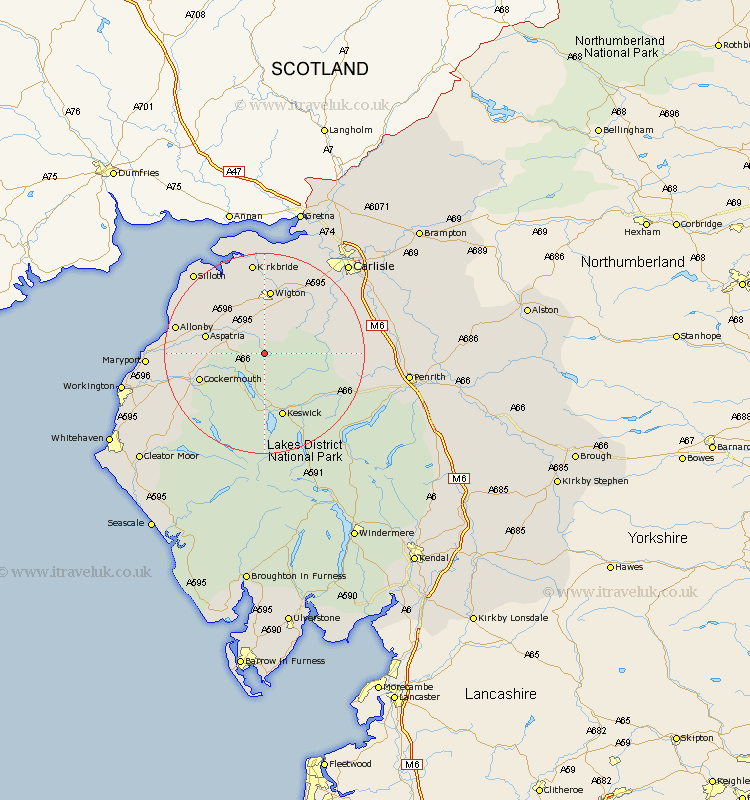
Cumbria Map Showing Location of Uldale
District: Allerdale
Easting: 324853 Northing: 536380
Latitude: 54.72 Longitude: -3.17
 = Uldale
Easting: 324853 Northing: 536380
Latitude: 54.72 Longitude: -3.17
= Uldale
This Uldale map below is supplied by Google. Use the tools in the top left corner to zoom into street level or zoom out for a road map, you may also need to zoom in to see Uldale on the map. Click and drag the map to move around. If the map fails to load try and refresh your browser or zoom in or out (+ or -).
Update - it seems Google no longer allow people to use their maps for free! This Uldale map sometimes loads and sometimes gives a error. I am working on a solution.
Closest 30 Towns or Cities to Uldale (Population over 500)
Westward 7.71km Caldbeck 7.72km Hesket Newmarket 9.81km Bromfield 11.27km Aspatria 11.32km Wigton 13.01km Cockermouth 13.03km Keswick 13.37km Koswick 13.37km Bridekirk 13.38km Thursby 14.97km Crosscanonby 17.22km Dearham 17.23km Dalston 17.5km Brigham 17.7km Kirkbride 18.65km Skelton 19.36km Broughton Moor 19.63km Greystoke 20.66km Silloth 21.04km Maryport 21.49km Dean 21.51km Lamplugh 22.44km Flimby 22.79km Burgh-by-Sands 23.46km Burgh 23.46km Burgh by Sands 23.46km Carlisle 23.81km Dacre 24.15km Stanwix 25.28km