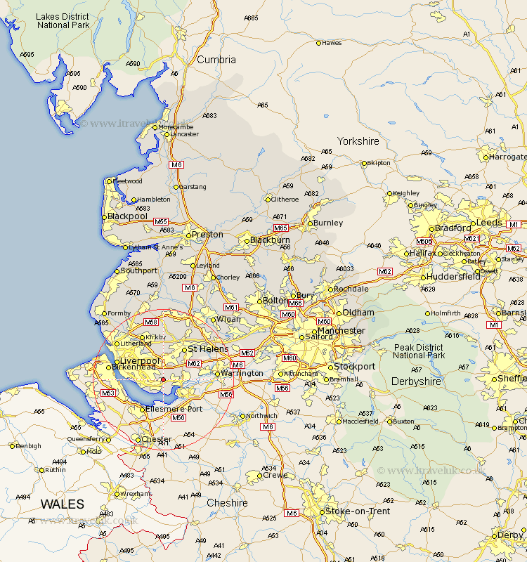
Lancashire Map Showing Location of Halewood
Population: 20309
District: Knowsley
Easting: 345664 Northing: 385877
Latitude: 53.37 Longitude: -2.82
 = Halewood
District: Knowsley
Easting: 345664 Northing: 385877
Latitude: 53.37 Longitude: -2.82
= Halewood
This Halewood map below is supplied by Google. Use the tools in the top left corner to zoom into street level or zoom out for a road map, you may also need to zoom in to see Halewood on the map. Click and drag the map to move around. If the map fails to load try and refresh your browser or zoom in or out (+ or -).
Update - it seems Google no longer allow people to use their maps for free! This Halewood map sometimes loads and sometimes gives a error. I am working on a solution.
Closest 30 Towns or Cities to Halewood (Population over 500)
Cronton 3.8km Huyton 4.31km Huyton with Roby 4.31km Rainhill 4.97km Rainhull 4.97km Prescot 5.67km Prescott 5.67km Knowsley 9.52km Eccleston 9.52km St Helens 10.78km St. Helens 10.78km Saint Helens 10.78km Liverpool 13.37km Aintree 13.54km Kirkby 14.09km Melling 14.56km Haydock 14.92km Litherland 16.47km Rainford 16.72km Bickerstaffe 16.72km Billinge 16.72km Ashton in Makerfield 17.03km Ashton 17.03km Bootle 17.3km Sefton 17.84km Golborne 18.16km Skelmersdale 18.56km Maghull 18.87km Crosby 18.94km Thornton 19.16km