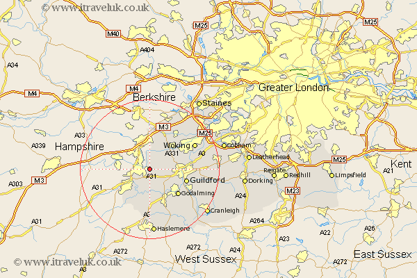
Surrey Map Showing Location of Ash Vale
District: Guildford
Easting: 489555 Northing: 150931
Latitude: 51.25 Longitude: -0.72
 = Ash Vale
Easting: 489555 Northing: 150931
Latitude: 51.25 Longitude: -0.72
= Ash Vale
This Ash Vale map below is supplied by Google. Use the tools in the top left corner to zoom into street level or zoom out for a road map, you may also need to zoom in to see Ash Vale on the map. Click and drag the map to move around. If the map fails to load try and refresh your browser or zoom in or out (+ or -).
Update - it seems Google no longer allow people to use their maps for free! This Ash Vale map sometimes loads and sometimes gives a error. I am working on a solution.
Closest 30 Towns or Cities to Ash Vale (Population over 500)
Normandy 3.48km Tongham 3.88km Deepcut 5.56km Seale 5.56km Frimley 5.68km Puttenham 6.56km Pirbright 6.88km Farnham 8.04km Compton 8.04km Worplesdon 8.92km Elstead 9.34km Bisley 10.93km Milford 10.93km Goldaming 11km Godalming 11km Guildford 11.08km Guilford 11.08km Camberly 11.18km Camberley 11.18km Shalford 11.83km Chobham 12.31km Frensham 12.54km Thursley 12.98km Bagshot 13.18km Send 13.28km Bramley 13.78km Windlesham 13.78km Witley 14.21km St. Martha 14.41km St Martha 14.41km